Victorian Copy of Plan
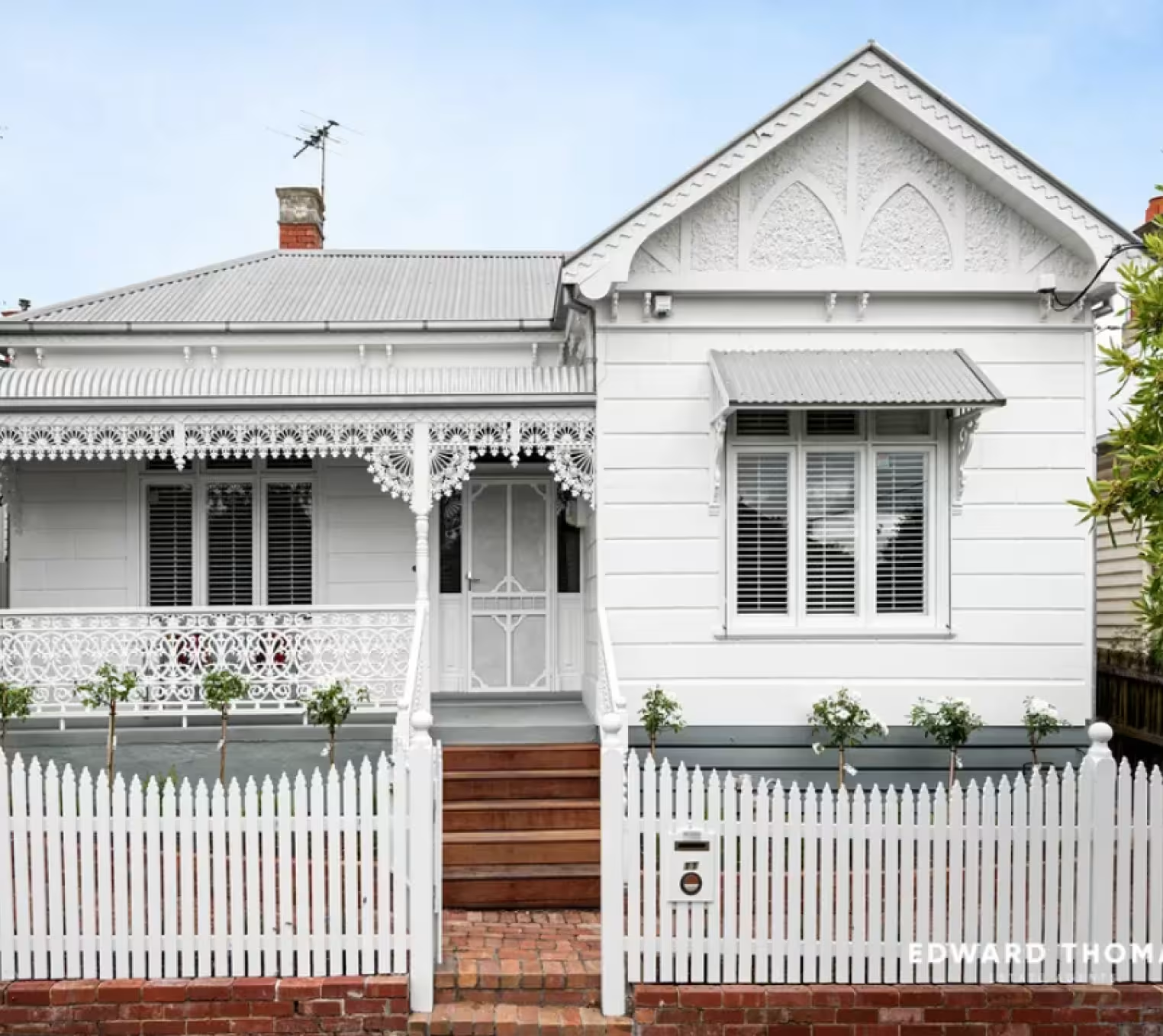
The copy of plan, also known as plan of subdivision (POS) is a surveyed sketch of a land lot or parcel that shows the original subdivision of this land into separate titles, as well as any easements or restrictions over the land.
If you’re building, purchasing, renovating or developing a property in Victoria, it is important to have a copy of plan so you’re aware of the legal boundaries and restrictions associated with your property.
What Information will the Copy of Plan Provide?
- Local government authority
- Property boundaries
- Land size
- Easements
- Restrictions
Order a Copy of Plan on Landchecker and Receive it Within Five Minutes
Once you’ve placed your order, the document is made available to you within minutes and customers can download it straight away.
Why Choose Landchecker for your Copy of Plan Search in Victoria?
We’ve made it as seamless as possible for you to get a copy of plan, and our application is constantly receiving your feedback and innovating to give you a better customer experience.
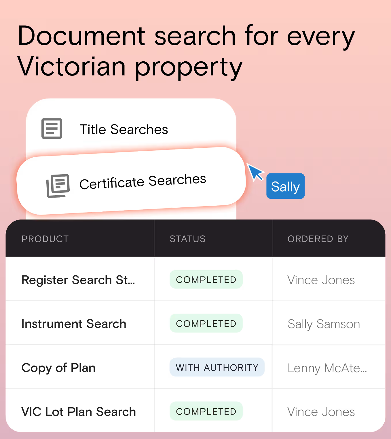
Simply begin your search for a copy of plan on Landchecker by finding the property via the Map view or through the document searches page under title search or standard searches.
Whether you’re an organisation that regularly needs to do document searches or you’re a homeowner doing a one-off purchase, we ensure our documents are competitively priced - and easy to purchase - for your benefit.
3. Covenants
Covenants are guidelines and/or restrictions on the land that can limit what can be built on it, where it can be built and from what materials it may be built.
These rules must be adhered to when altering a property, and are created by the property developer to retain the quality, look and feel of a building or neighbourhood.
Common reasons for a covenant include restricting the number of buildings on the land (i.e. to a single house) or dictating what type of building materials may be used (ie for fences).
Breaching a covenant can have serious consequences so it is necessary to be aware of any covenants on your property.
4. Caveats
A caveat is essentially a warning that someone else has an interest in the property. The word caveat means “beware”, and is a legal notice lodged with the state land registry.
The caveat appears on the Title, so if you are considering purchasing a property look out for this red flag.
Why Choose Landchecker for Instrument Search?
Let us help you quickly and easily obtain an instrument for your subject property. We make sure our documents are competitively priced - and easy to purchase - for your benefit.
Whether you’re an organisation that regularly completes Instrument Searches or a homeowner doing a one-off purchase, save time and money using our interactive and user-friendly application.
If you purchase titles and documents in high volume, contact us to find out how we can provide you with enterprise discounts.


Trusted by thousands of businesses every day
"Having access to all this property information in one place is invaluable, from sales data, to planning information and permits. The Landchecker map is very easy to use."
"Clients expect the advice to come immediately so they can make informed decisions on whatever it is they're doing, whether it is an acquisition or development applications or VCAT, Landchecker is that one-stop-shop; a tool that we could use to provide advice we could then give to our clients in a timely fashion."
“Landchecker is the most used and popular online tool for KordaMentha’s real estate team. Its intuitive platform simplifies complex property research, enabling our team to quickly retrieve essential information such as land size, zones and overlays, planning information, and sales history."
"Landchecker has been a gamechanger for InForm - not only in the way in which we are able to gather all accurate information on parcels of land, but also in the way in which we service our clients."
"Landchecker is essential for our business for evaluating development opportunities by offering detailed property insights, High-Resolution Imagery, and zoning data to save time and enable confident decisions."
"Landchecker has provided significant support to our due diligence process, providing efficient searching solution and quick access to key planning data and high-resolution imagery. It’s an essential tool improving the efficiency of our opportunity assessment."
