Landchecker For Architects & Town Planners
Architects and Town Planners need ready access to accurate property data and relevant planning precedents to make informed decisions with efficiency. The Landchecker application provides that all-in-one source of documents and data, with the benefit of viewing properties, sites and suburbs on-map and in high-resolution aerial imagery. Planners can visually evaluate a property in the context of planning zones and overlays, and check the status of nearby permits/development applications. Landchecker consolidates all the important information for planners so that they can deliver timely advice to clients and team members and comprehensive applications to council with confidence.
“Landchecker is a user friendly platform and provides a 1-stop shop for our day to day planning needs. The platform is able to function as the first ‘go- to’ website when providing advice for clients and reviewing a site.”
Simon Martin, Ratio Consultants
Use Projects to get started with Landchecker
Maintain your projects efficiently by consolidating all relevant documentation and data into a Project through Landchecker. Use this as your go-to folder and communication channel for you and your team, so that planning regulations and site specifics can be checked easily throughout all stages of the project, and any additional notes added along the way. Liaise and collaborate seamlessly with your team members, whether they be clients, developers or builders. When your head’s deep in problem-solving and planning for feasible designs, simplify your administration through Landchecker with the Project tool.
Planning Permits/Development Applications - what you need to know
Keeping your finger on the pulse of local permit activity is vital in understanding your own planning potential and limitations when taking on a project. It’s one thing to navigate through council planning schemes and overlays to determine whether your design will meet council regulations. But knowing which other developments in the area are approved or rejected helps in opening your mind up to design possibilities when problem-solving.
How you can use Permit Filtering through Landchecker
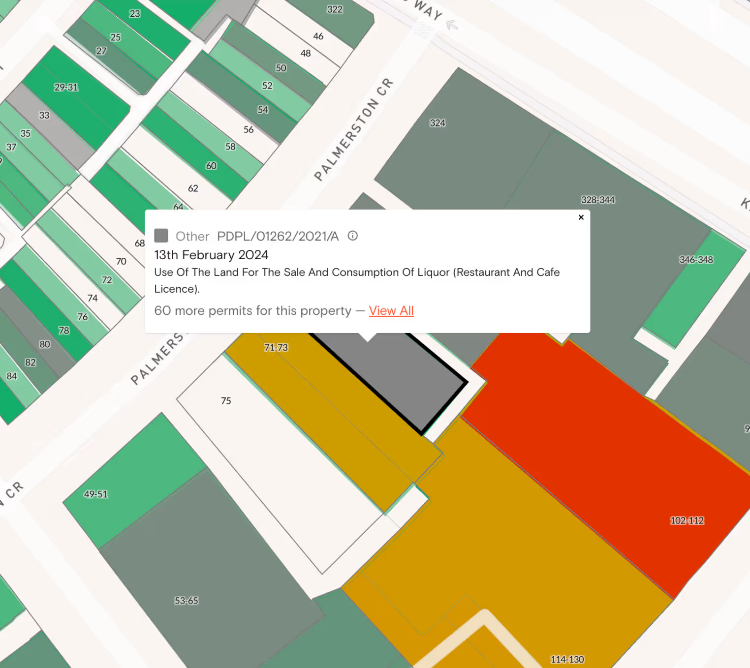
Finding out about planning permit activity in the locality couldn’t be any simpler with Landchecker’s traffic light system of filtering. In one map-view, you can visualise properties that currently have planning permits that are either approved (green), pending (yellow) or rejected (red). Filter by the date the permit or development application was lodged, or by the outcome date. You can even filter by keyword (eg. ‘townhouse’) to narrow down your search to similar permits nearby so as to assess possible precedents.
How you can use Permit Alerts
You can request daily or weekly updates from Landchecker about new permits in your specified area, related to your design and property type. This way, you’re kept informed without having to conduct frequent searches for the latest permit activity. You’ll receive these permit alerts in email, for your convenience.
Free Property Report - Why through Landchecker?
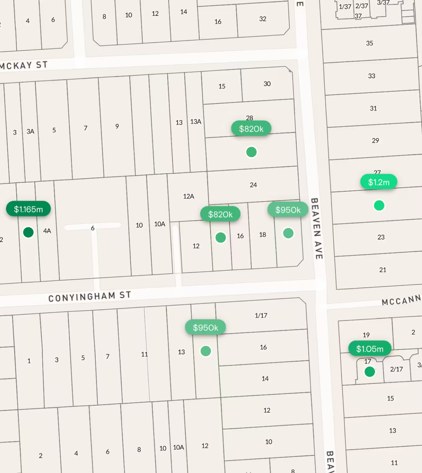
To access a free, instant summary of data on any property for your project or your client, you won’t need to go any further than the Landchecker platform for your Free Property Report. Apart from essential property details, this report also includes planning zones and overlays affecting your site, as well as cultural heritage information. Use the Landchecker map-view to contextualise this data- be sure to add in the relevant overlays so you can visualise your site’s planning potential and restrictions, as outlined in the Free Property Report.
Why pay for Premium?
In assessing a site’s feasibility, especially for the purpose of producing a timely feasibility report to clients, the comprehensive data provided in Landchecker’s own Premium Property Report is recommended. Beyond the basics provided in the free report, the Premium Report contains crucial planning information: a detailed planning permit history of the subject property; approved, pending and rejected planning permits in the vicinity; and recent and proposed planning schemes. You won’t have to navigate through council websites to source relevant data about development activity and precedents that might affect the project at hand. Better still, you can appreciate this premium data in map-view within the app.
Of course, when you’re collating data for your client or team, branding it with your company logo is a sure way to achieve a slick, professional finish with little effort - another reason why property professionals choose Landchecker’s Premium Property Report for seamless property data sourcing and sharing on any given project.
Why you need to conduct Title and Document Searches:
To kick off your permit/DA approval, you’ll need to access the Title and Copy of Plan. Checking for ownership details and restrictive clauses that might affect your plans for development is a vital stage of the planning and application process. Take due diligence into your own hands - your clients rely on you to both source and interpret legal documents associated with the property before proceeding with a project.
Why through Landchecker:
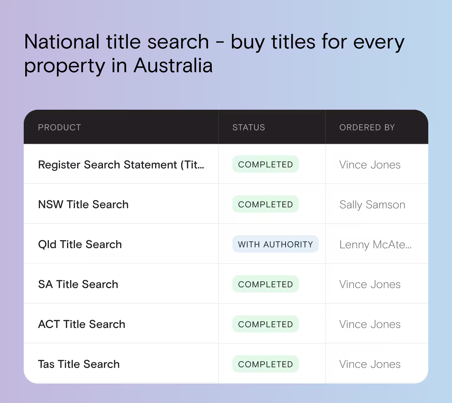
You can easily source and purchase Title and Document Searches through the Landchecker platform by either selecting your subject property on-map, or by entering the address, council number, crown description, lot/plan, SPI or volume/folio. These products have been competitively priced; there’s no need to source your essential documents externally when you’re conducting your due diligence within the app.
High-Resolution Aerial Imagery
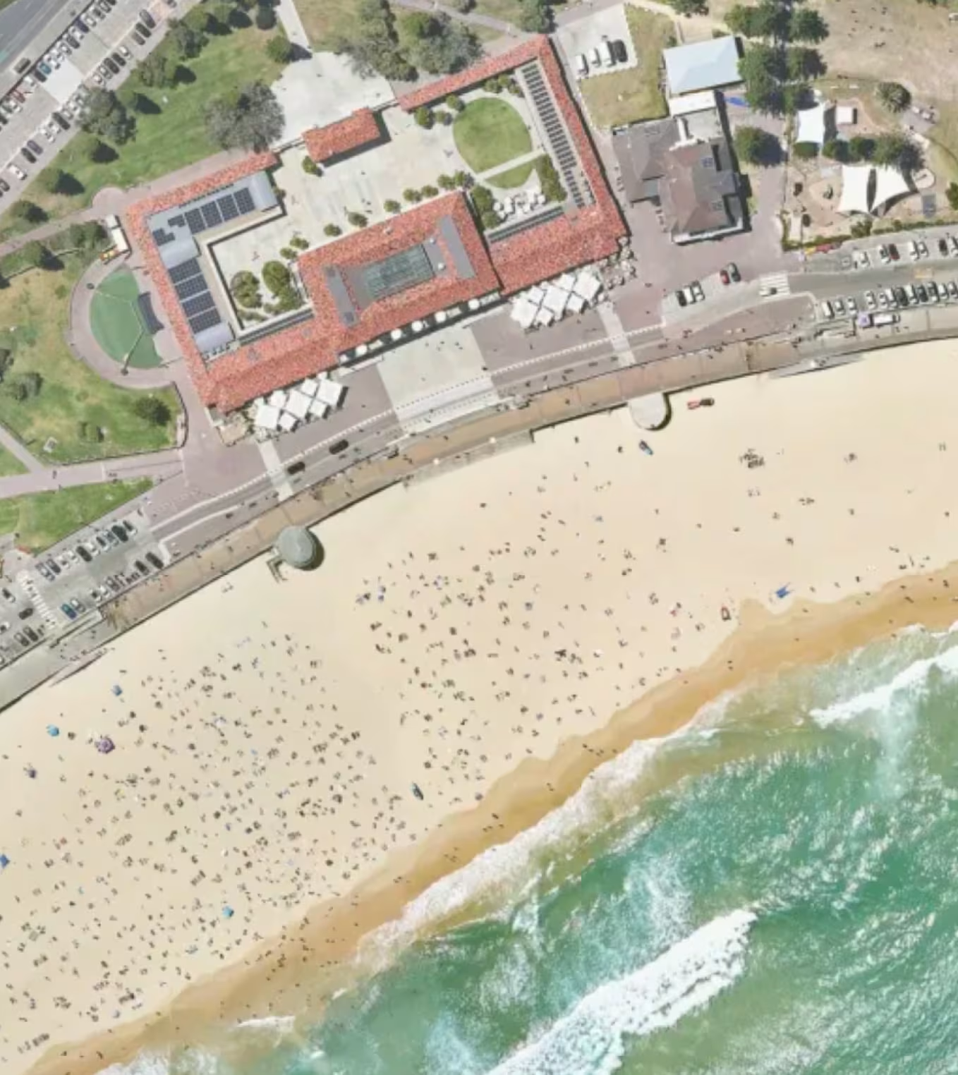
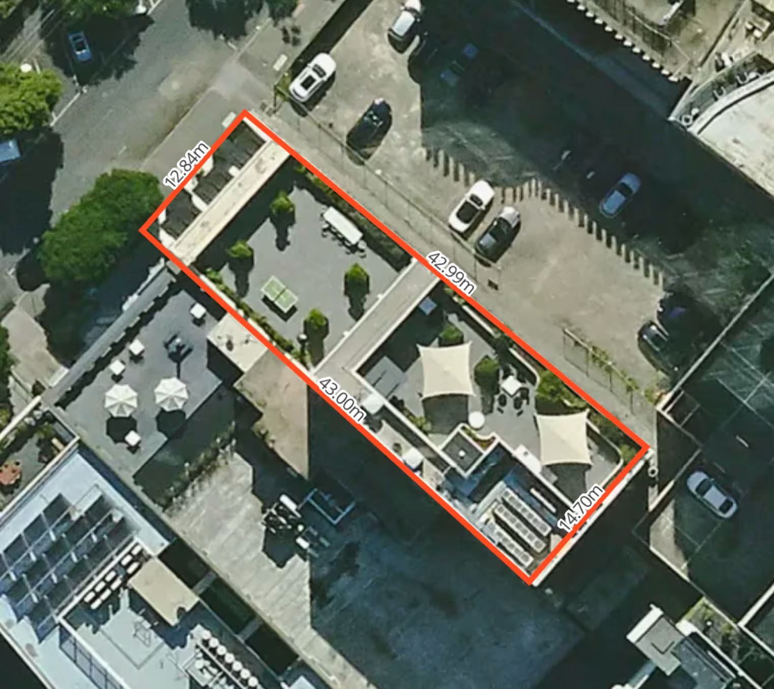
Conduct an initial site assessment from your desktop using high-resolution aerial images that are updated quarterly in Metro areas. Visually check the size, vegetation, aspect and amenity of the land to gauge the potential and challenges of a site and whether it can accommodate your client’s brief. These high-quality, bird’s-eye-view images also give you an idea of a property’s immediate surrounds and streetscape so as to inform decisions around planning and development within context. Architects and Planners rely on high-resolution imagery to make snapshot assessments of a site’s feasibility, before delving into the complexity of planning regulations.
Historical Imagery:
Viewing changes to a site over an extended period up until the present day helps to inform decisions around planning potential and challenges moving forward. You can access high-resolution images from the past two decades to understand land use in context, or even assess short-term changes a property has undergone by comparing images that are captured quarterly.
Export Images:
Export georeferenced high-resolution images of your selected sites into your chosen CAD program to being your project today.