Site Consolidation
Need to quickly see consolidated information to assess development potential?
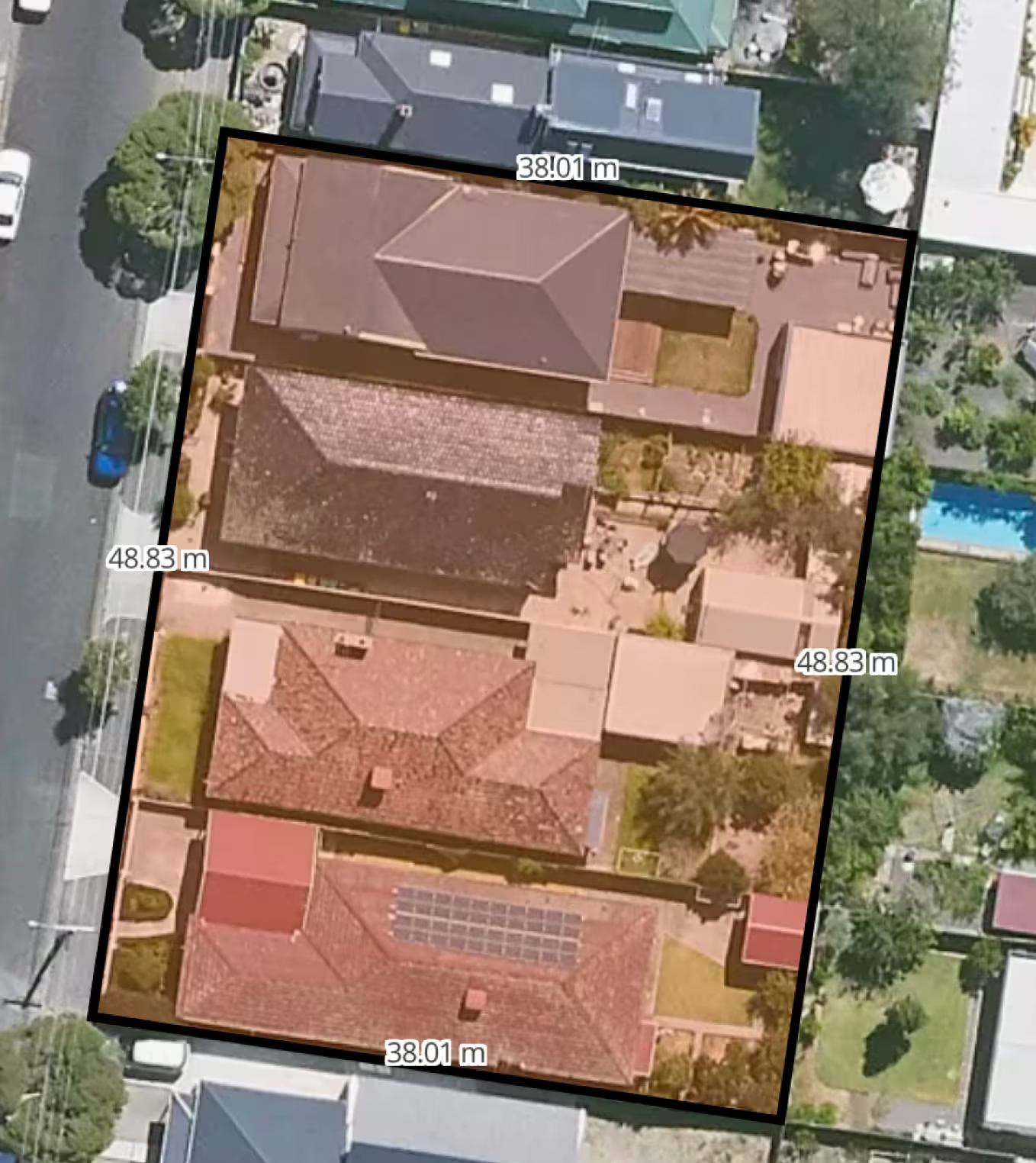
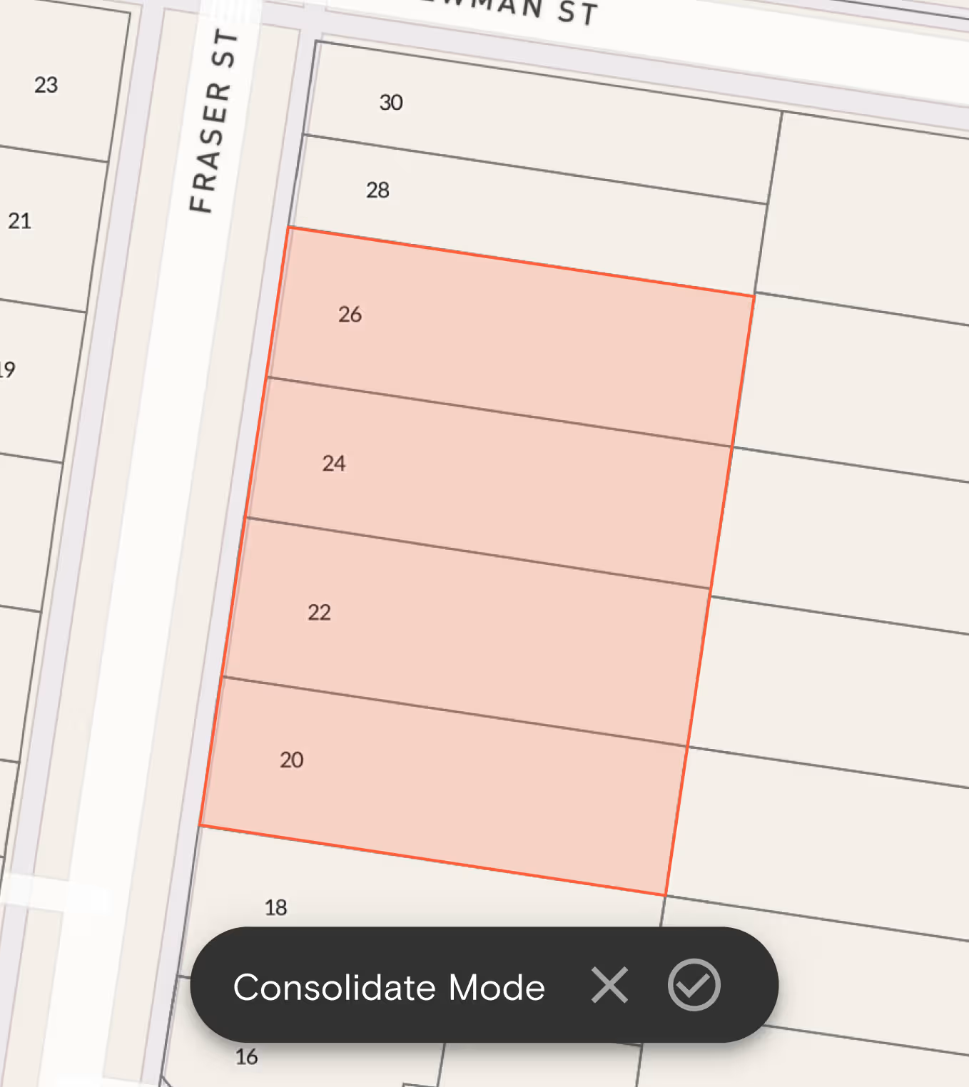
Using the Landchecker Site Consolidation tool, you can now select multiple properties on the map to create a combined site.
"Having the correct spatial information at our fingertips is critical for conducting a planning, landscape and urban design business. At Human Habitats these tools keep us ahead of our competitors, help us understand problems and communicate ideas to our clients and stakeholders. We use Landchecker because it gives us access to spatial information without limits on the extent of data usage."
Will Pearce, Director
Human Habitats
Consolidate Properties in Seconds
We understand you don't have time to piece together data from multiple properties manually. Site Consolidation gives you what you need to assess properties fast. With just a few clicks, you can:
- Select and combine neighbouring properties to assess the development potential of a site
- Select distant properties nationally across Australia to view combined property information for an existing asset list
- Customise your view by changing the fill and stroke colours after creating a consolidated site
- Generate a consolidated site report you can share with your team or clients
Get Comprehensive Property Information All in One Place
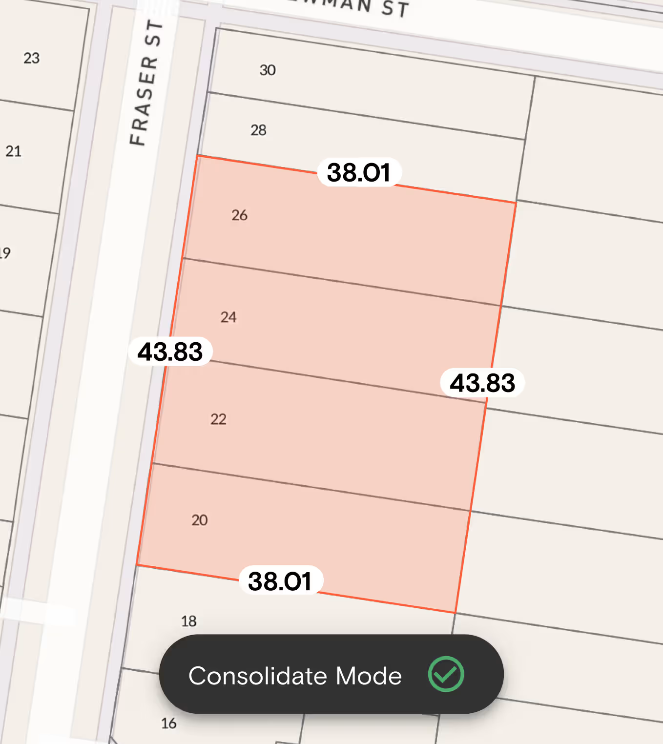
When you consolidate properties, we bring together these key property details on the right-hand side panel.
- Land size - See the total area of your consolidated site or selected properties.
- Frontage - Calculate the combined street frontage.
- Zones - Understand the planning zones affecting your consolidated site.
- Orientation - Know the orientations of your consolidated site for better planning.
Download a Consolidated Site Report
After saving your consolidated site in a project, you can download a detailed report that includes:
- Combined land size and frontage
- Lot/plan numbers, orientation, and site dimensions
- Zones, overlays, easements, and contours
- Sales history, contract date, and settlement date (where available)
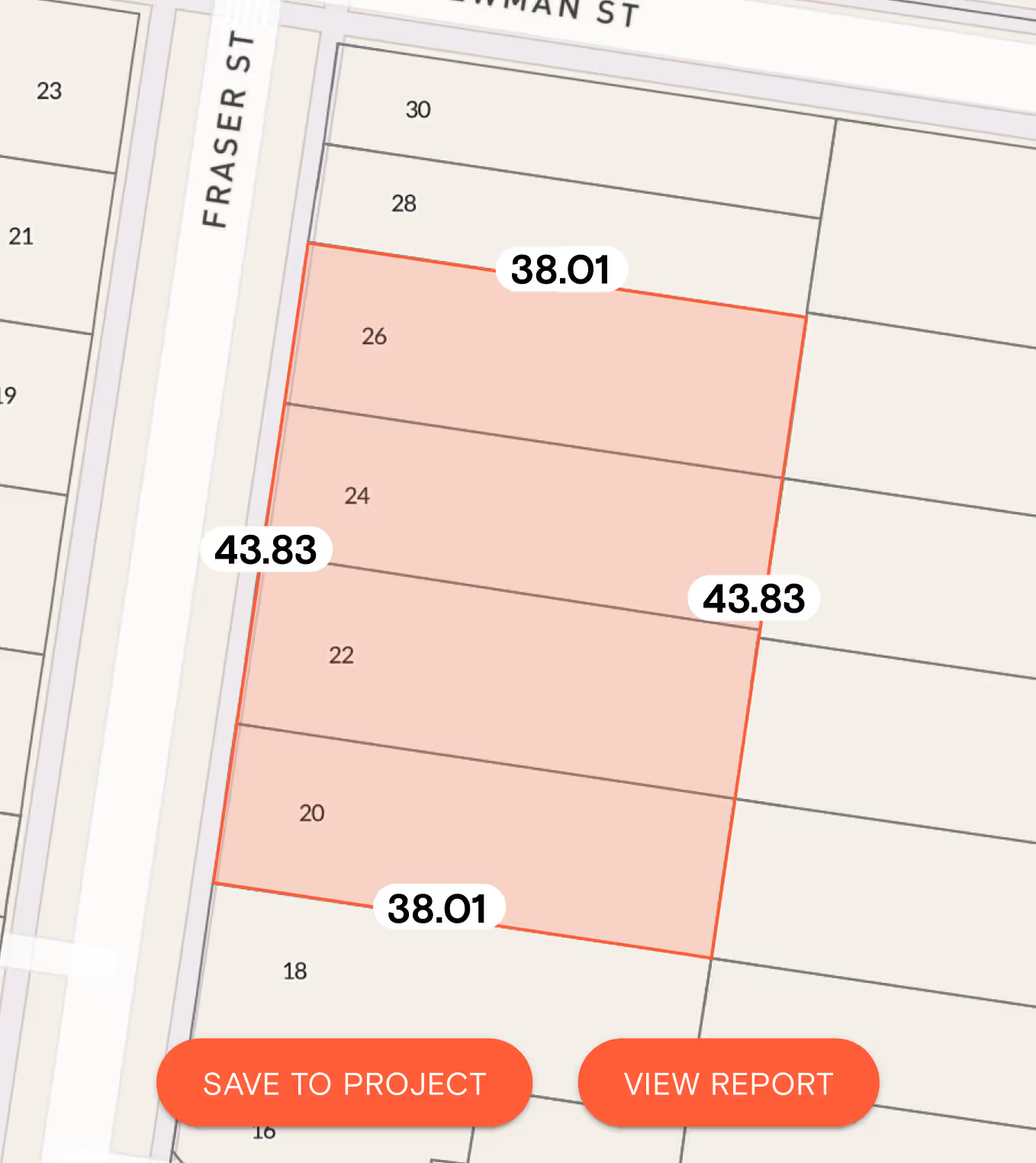
Save Consolidated Sites to Projects
Save consolidated sites directly to your projects so you can come back to them later.
You can revisit, edit, and update them anytime, making it easier to manage multiple developments at once.
Site Consolidation is now available to all members on our Advanced and Enterprise Plans. To find out more about how to use this new feature, check out our help article here.



Trusted by thousands of businesses every day
"Having access to all this property information in one place is invaluable, from sales data, to planning information and permits. The Landchecker map is very easy to use."
"Clients expect the advice to come immediately so they can make informed decisions on whatever it is they're doing, whether it is an acquisition or development applications or VCAT, Landchecker is that one-stop-shop; a tool that we could use to provide advice we could then give to our clients in a timely fashion."
“Landchecker is the most used and popular online tool for KordaMentha’s real estate team. Its intuitive platform simplifies complex property research, enabling our team to quickly retrieve essential information such as land size, zones and overlays, planning information, and sales history."
"Landchecker has been a gamechanger for InForm - not only in the way in which we are able to gather all accurate information on parcels of land, but also in the way in which we service our clients."
"Landchecker is essential for our business for evaluating development opportunities by offering detailed property insights, High-Resolution Imagery, and zoning data to save time and enable confident decisions."
"Landchecker has provided significant support to our due diligence process, providing efficient searching solution and quick access to key planning data and high-resolution imagery. It’s an essential tool improving the efficiency of our opportunity assessment."
