Projects
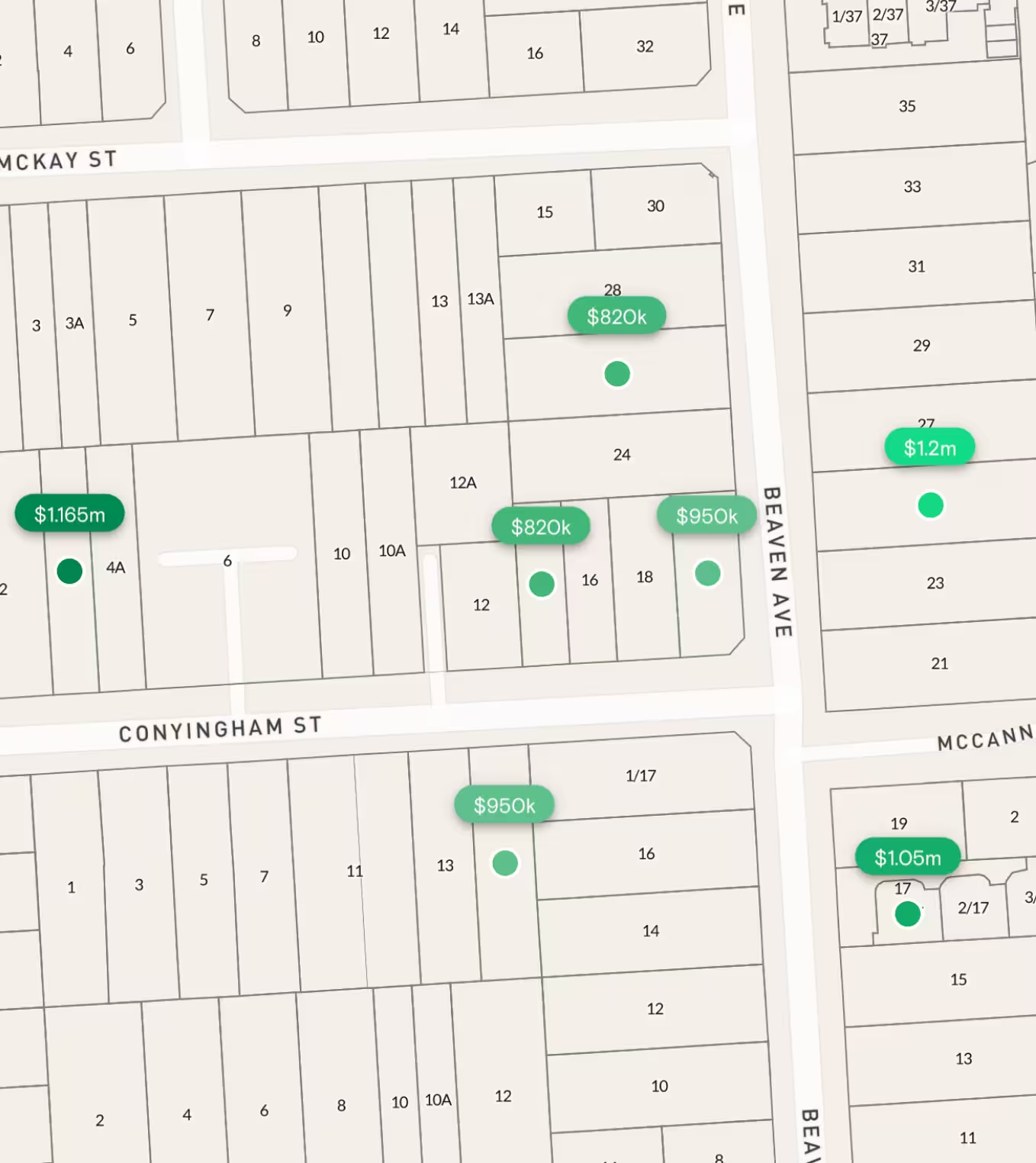
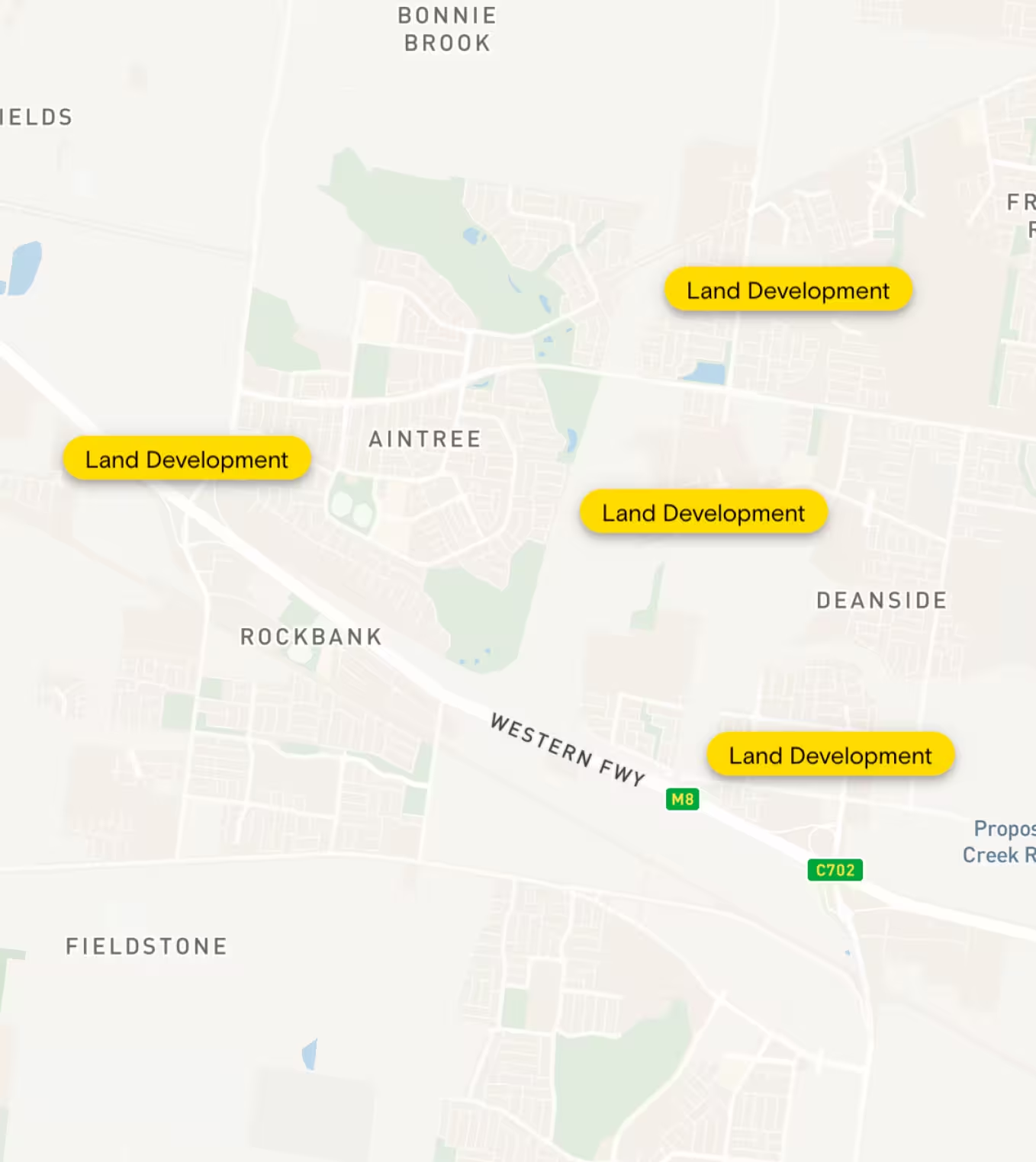
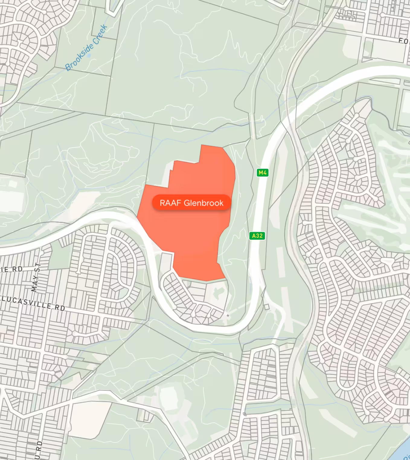
Manage your property portfolio through Landchecker Projects. Property Professionals use Projects for site acquisitions, conflict checks, prospective purchases or sales, assessments, and much more. You can track and monitor changes over time, easily view the property in High-Resolution Imagery & Aerial Maps, compare or aggregate land sizes, frontage, orientation, planning schemes, review zones for permitted use and access the Property Report to view the property highlights quickly.
"Clients expect the advice to come immediately so they can make informed decisions on whatever it is they're doing, whether it is an acquisition or development applications or VCAT, Landchecker is that one-stop-shop; a tool that we could use to provide advice we could then give to our clients in a timely fashion."
Simon Martin, Director
Ratio
Build out an inventory of your job history with our projects tool. Save properties to projects, add notes to a project or a property, upload documents to your project such as titles, copy of plans or company searches and share to collaborate across your team. Add labels using colour and text to categorise your properties within a project. Export information in CSV, XLS and KML Points and Polygons if you need to view the information in your own system.
Use Site Finder advanced search filters to narrow down an entire state to a handful of suitable sites in seconds then save your results to a project to collaborate on with your team members.
Have an existing portfolio you would like to see quickly in Landchecker? Upload your properties into Projects and quickly view them in High-Resolution Imagery with the relevant property data.
There are many ways to use Projects to fit the workflows and processes of your team and business. Request a demo to find out more about how Projects can help you manage your property portfolio. Alternatively you can head over to our plans page to purchase access to Projects today.
"Landchecker is an essential part of our Due Diligence and Prospecting process. The platform is invaluable to our business."
Projects Functionality At A Glance
- Create unlimited projects
- Save unlimited properties to a project
- Edit, share, archive and delete projects
- Add labels to categorise your project properties
- Add descriptions to projects
- Add notes to properties within projects
- Upload documents to a project
- View projects on the map or as a list view
- Save consolidated sites and shapes to Projects


Trusted by thousands of businesses every day
"Having access to all this property information in one place is invaluable, from sales data, to planning information and permits. The Landchecker map is very easy to use."
"Clients expect the advice to come immediately so they can make informed decisions on whatever it is they're doing, whether it is an acquisition or development applications or VCAT, Landchecker is that one-stop-shop; a tool that we could use to provide advice we could then give to our clients in a timely fashion."
“Landchecker is the most used and popular online tool for KordaMentha’s real estate team. Its intuitive platform simplifies complex property research, enabling our team to quickly retrieve essential information such as land size, zones and overlays, planning information, and sales history."
"Landchecker has been a gamechanger for InForm - not only in the way in which we are able to gather all accurate information on parcels of land, but also in the way in which we service our clients."
"Landchecker is essential for our business for evaluating development opportunities by offering detailed property insights, High-Resolution Imagery, and zoning data to save time and enable confident decisions."
"Landchecker has provided significant support to our due diligence process, providing efficient searching solution and quick access to key planning data and high-resolution imagery. It’s an essential tool improving the efficiency of our opportunity assessment."
