Landchecker For Property Developers
Developers need efficient ways to search for potential sites and check feasibility, so it makes sense that more developers use Landchecker as their go-to-tool every day. Conducting due diligence and reconnaissance from desktop vantage has never been easier with Landchecker’s on-map functionality. Landchecker equips developers with useful tool sets, the most up-to-date data and the highest resolution aerial imagery, so that they can kick-start their project with assurance and confidence.
“As a small developer, it's very helpful for quickly researching potential sites (zones, overlay, topography). The planning information and previous sale price data is great as it saves me having a separate system for each.”
Luke Rowart, Elevation Property
Find sites through Landchecker with Site Finder advanced search
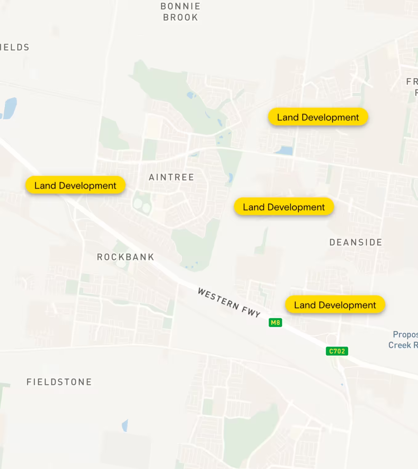
Finding the right site for your development is crucial, and you want to be smart in the way you go about it. Do your ground work without getting out to sites, and make those initial yay-or-nay decisions from desktop vantage, all through the Landchecker experience. Using Site Finder, you can tap into development potential - and identify deadends or risks - within seconds. Applying advanced filters to your search means you can narrow down an entire state to a handful of suitable sites based on specified land size, location, orientation, overlays and zones, as per your client’s brief or your own criteria. And since the search results instantly show on your map-view, your acquisition process is simplified for you. Get an immediate overview of location possibilities so you can kickstart your next project with efficiency.
Sites found- now what?
Once you’ve found a selection of suitable sites using the Site Finder tool, you can save your search results to a project for your records or for sharing with your clients and team.
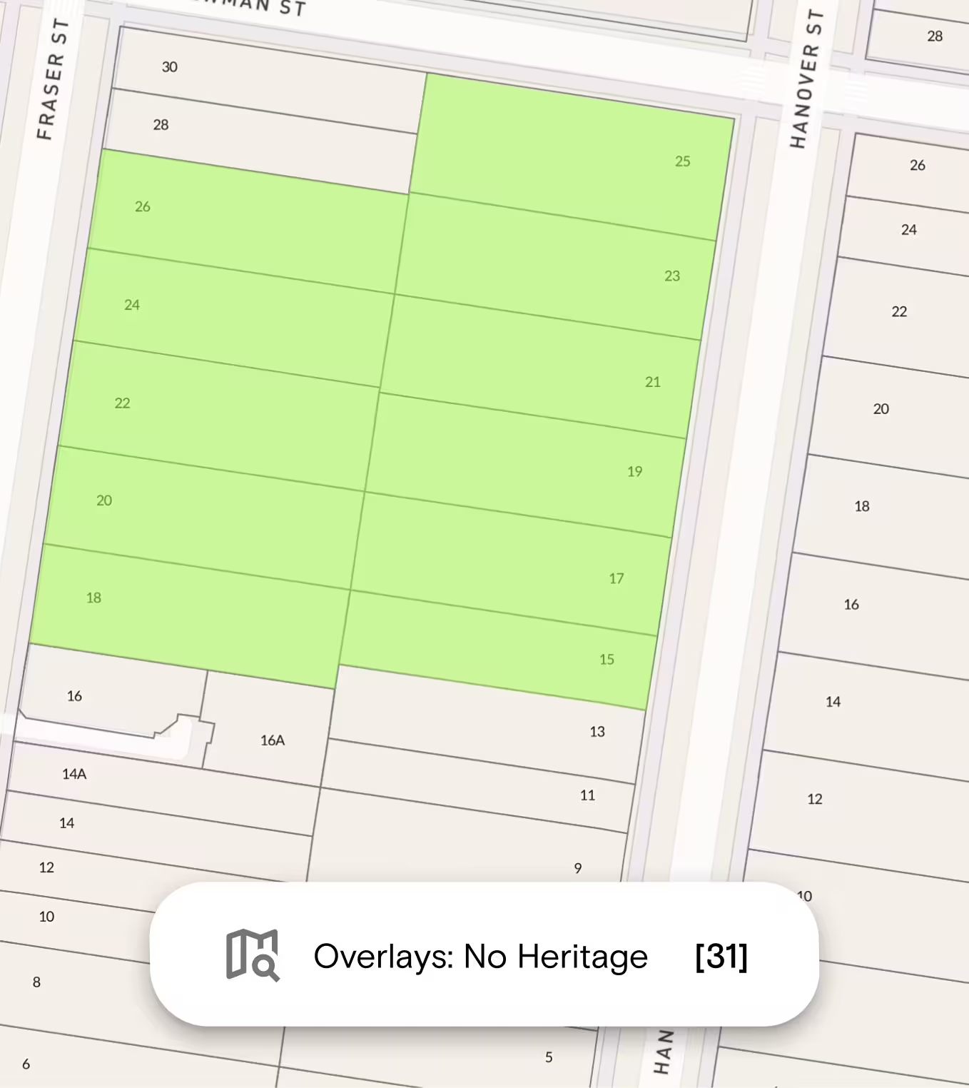
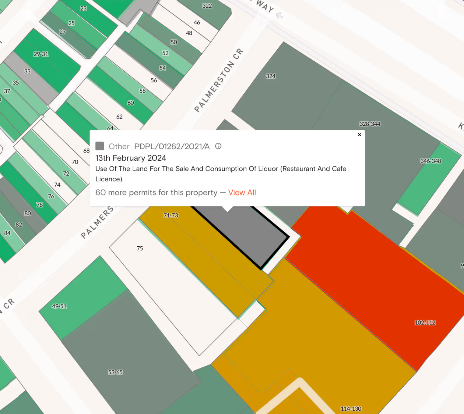
Select one of the sites highlighted in your search results on-map to access its property info and documents, and add these to your project too.
Utilise the measuring tools on the right-hand side of your map to measure the distance and area of a selected site, and export a current map view or high-resolution image of the site to save to your project.
Site results are just the beginning - how you use them is in your hands.
Research potential sites faster with comprehensive property data.
Access comprehensive property data to complete your due diligence, all in one place – for faster, insight-driven decisions.
Check a property’s planning controls and planning scheme schedules, permit history, land size, previous sale price, amenities within a 10-minute walk and more.
Planning Permits/Development Applications - why you need to know
Having a handle on planning permits and development applications (DA’s) nearby helps you assess your own project’s feasibility when it comes to council approval. You need to have a good understanding of surrounding developments which are likely impacted by the same planning schemes and council regulations, before you proceed with your own, full-proof proposal.
How you can use Permit Filtering
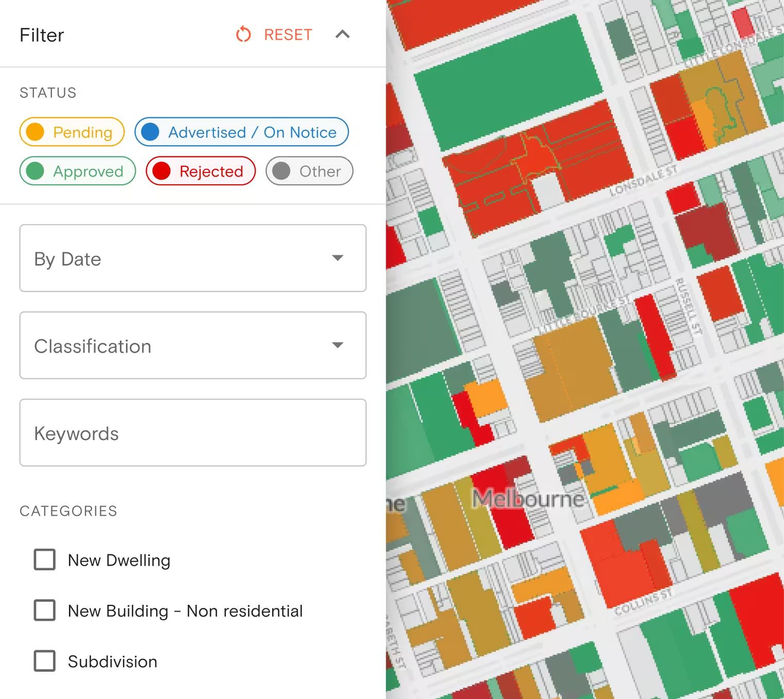
Through Landchecker, you can easily see which properties have permits/development applications that are either approved (green), pending (yellow) or rejected (red), all on your map-view, using the traffic-light system of filtering. In one search, you can apply additional filters that include dates (lodged, and outcome date) as well as keyword (eg. ‘apartments’), so that you can assess similar development plans and their progress.
How you can use Permit/Development Application Alerts
Opt for daily or weekly permit/DA alerts so that you’re kept in the know without having to check yourself. Emailed directly to you through Landchecker, these permit alerts give you up-to-date insight into council-approved developments similar to yours, for your own benefit.
High Resolution Aerial Imagery
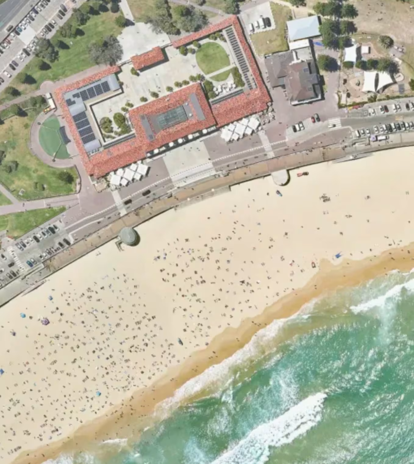
Conduct a site assessment from your desktop by viewing clear, up-to-date imagery of a prospective site before you undertake a project. Examine the viability or potential of several sites quickly without wasting time or resources with on-site inspections. You can check for zoning, plot size and shape, physical characteristics, essential utilities and other site considerations by viewing high-quality images that are updated quarterly in all Metro areas. Making an initial assessment is vital in actioning a project or ruling out a site for development purposes. Developers use high-resolution imagery to perform reconnaissance and make quick judgement calls in that critical first stage of site-scouting and reviewing.
Historical Imagery:
Check how a site or property has undergone change over time by viewing high-resolution images that have been captured quarterly in Metro areas over the past two decades. Understand a property’s development over an extended period to make the best assessments of future development possibilities and setbacks.
Export Images:
Export and save high-resolution imagery of your site selections to a project for your own records or for sharing with your team.
Why you need to conduct Title and Document Searches:
For the very reason you want to tap into potential, you’ll also want to check against pitfalls when scouting out the right site for your next project - and a Title Search is paramount in this process. Not only does a Title tell you vital information about the land ownership of a specific property, it also details interests and restrictions on this land, like easements and encumbrances, that will determine whether your project can proceed within the specified regulations.
Why through Landchecker:
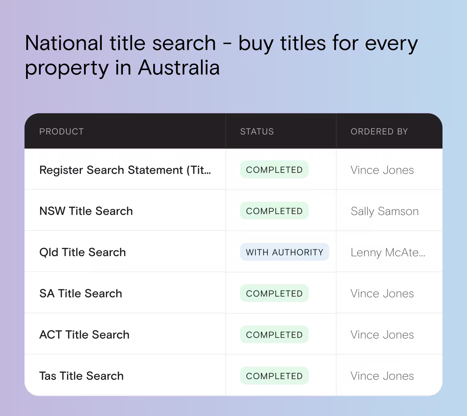
You can access a Title yourself through the Landchecker platform by either clicking on the site of interest and selecting the relevant document in the Documents tab next to your map-view, or entering the address, council number, crown description , lot/plan, SPI or Volume/Folio of your property of interest under Document Searches. No need to rely on a legal professional or another authorised provider for this document - through Landchecker, the Title and Document Searches are competitively priced and easily accessed, all within the on-map functionality, so you can find sites and check Titles all in one seamless experience.
Start your project through Landchecker
Before you kickstart your project, create one through the Landchecker platform and consolidate all your site finder results, property documents and accumulated data for your own records or for secure sharing with your team. Cut down on communication and administration by streamlining your project management efficiently. Speed up work-flow and invite collaboration in one easy-to-access folder. You can edit, share, archive or delete a project, so there’s a place to save all property findings in a simplified system of organisation for your ready access.