Landchecker For Valuers
Valuers uses of the Landchecker to assess their subject property and gain insights into the local market, all in one map-view. High–resolution aerial imagery enables valuers to view a property with clarity and evaluate changes to the property over time. With accurate data-sets and readily accessible titles and documents, Landchecker is the go-to resource for valuers who want to streamline their valuation processes and deliver a timely and customised valuation report to clients.
"As a property advisory business covering multiple market sectors nationally, efficient and user-friendly access to reliable property data is essential. Landchecker’s breadth of coverage and suite of consolidated tools provide our various teams with data, information and high-resolution imagery that contribute toward streamlining our processes and enhancing productivity."
Nick Ashton, Charter Keck Cramer
Free Property Report - Why through Landchecker?
Access essential property details to kickstart your valuation. Source a free report seamlessly through the platform - there is no need to go anywhere else for this basic data. Better still, the property report outlines information you can visualise in the app, layers such as planning zones and overlays on the property and nearby packaged in a convenient PDF, so you can gain an overview of your subject property in context. Transfer data directly to your valuation report and cut out the time spent navigating several databases and websites.
Why pay for Premium?
To make an accurate estimation of a property’s worth from the outset, you’ll want to access comprehensive data sets provided in the Premium Property Report. On top of the basics outlined in the free report, the Premium Report gives you data like approved, pending and rejected planning permits/development applications on the property and in the vicinity, and recent and proposed planning schemes, so you can make informed predictions about a property’s increase or decrease in value based on local and affecting developments. And with additional information like comparable sales, you’ve got a good idea of house prices relative to your subject property at a glance, as well as an insight into how the local market impacts your property value.
When your end-product is a property valuation report, this product is essential for valuers whose time is valuable. Seamlessly download the Premium Property Report through the app, and brand it with your company logo for ready distribution to clients, whether they are financial or legal institutions, homeowners or investors. Why wouldn’t you streamline your valuation effort for optimal effect?
Title and Document Search
Why you need to conduct Title and Document Searches:
In conducting a valuation, accessing the required documentation related to your subject property is critical. You’ll not only need to understand the legalities around ownership, interests and restrictions to determine a property’s accurate value, you’ll also want to add official documentation of these details into your valuation report for presentation to your client.
Why through Landchecker:
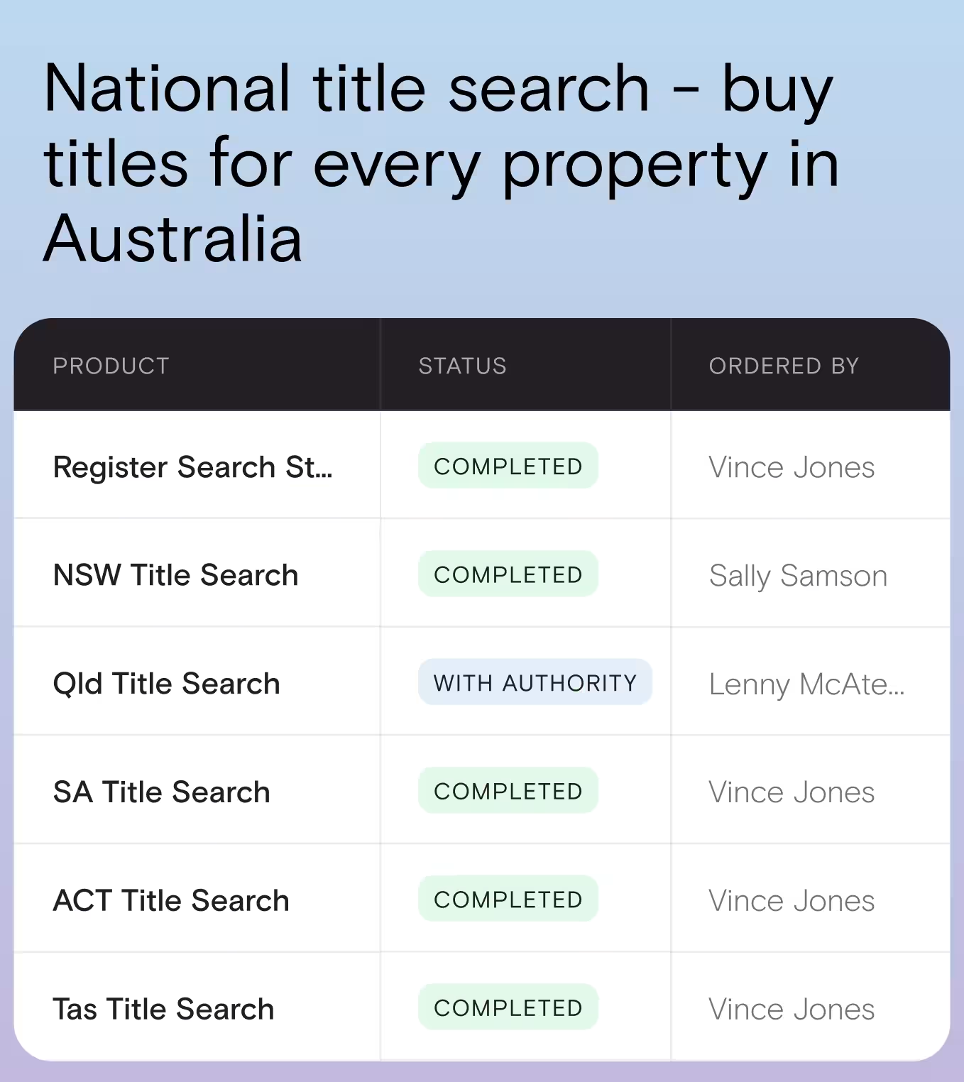
You can conduct a Title and Document Search seamlessly through the Landchecker platform - there’s no need to source these requirements externally. Simply click on your subject property on your map-view, or enter the address, council number, crown description, lot/plan, SPI or volume/folio number to access your selected documents, all competitively-priced for Landchecker customers.

High Resolution Aerial Imagery
Conduct an initial property assessment from desktop vantage by viewing clear, up-to-date images of your subject property. You can complete both a thorough land assessment, and a review of site improvements, without having to go to site at all. When restrictions make the logistics of physically checking out a property challenging, valuers rely on the best, high-resolution imagery to make informed assessments of a property. You can feel confident in the knowledge that high-resolution images are updated quarterly in Metro areas across Australia.
Historical Imagery:
View property changes over time to make accurate estimations of a property’s increase (or decrease) in value to date. You can adjust the date of the property image you view (high-resolution images have been captured quarterly in Metro areas for over two decades) to help gain an understanding of both positive and negative impacts to a property due to site improvements or interfering factors over an extended period.
Export Images:
It is easy to export a high-resolution image of your subject property to include in your valuation report. Export options include JPEG or PNG.