Queensland Planning Overlays
Landchecker has integrated planning overlay data from 17 major Queensland councils, adding 1.9 million data points to the platform. This represents the most comprehensive collection of Queensland planning overlay data available for property professionals conducting due diligence across the state.
What This Means for Your Property Research
A Heritage Overlay is a Queensland property professionals can now access acid sulfate soil, flood, bushfire overlays and more for the majority of the state's population centres—without needing to visit multiple council websites or wait for manual reports. The Queensland overlay dataset covers:
South East Queensland (Major Population Centres)
- Brisbane City Council
- Gold Coast City Council
- Moreton Bay Regional Council
- Sunshine Coast Regional Council
- Logan City Council
- Redland City Council
- Ipswich City Council
- Lockyer Valley Regional Council
- Scenic Rim Regional Council
Regional Queensland
- Toowoomba Regional Council
- Bundaberg Regional Council
- Gladstone Regional Council
- Mackay Regional Council
- Central Highlands Regional Council
- Western Downs Regional Council
- Maranoa Regional Council
- Woorabinda Aboriginal Shire Council
Available Queensland Planning Overlays on Landchecker
Coverage varies significantly across the 17 councils. Brisbane City Council offers the most comprehensive overlay dataset with all 17 overlay types available, while smaller regional councils may have 6-10 overlay types depending on local planning priorities.
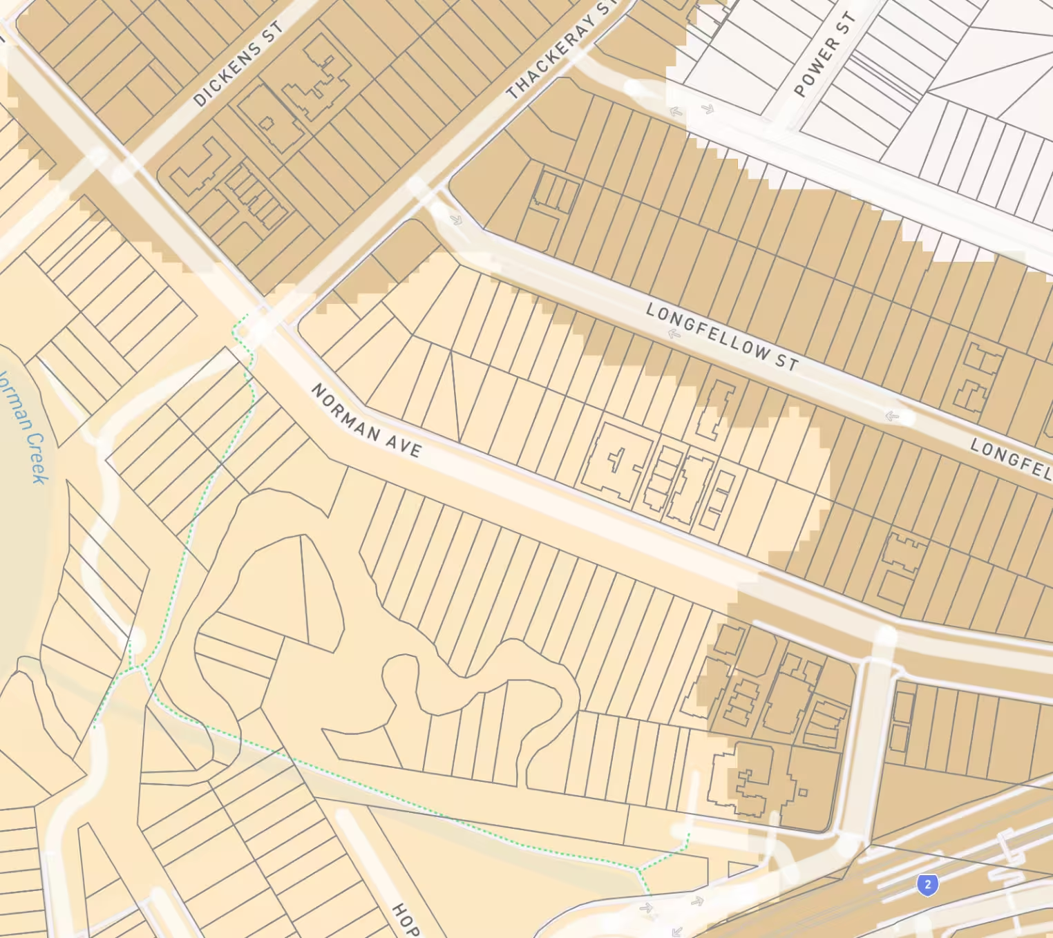
To check which overlays apply to a specific property, search the property address in Landchecker and review the Planning Information panel on the right side of the screen. This data is also available in the left-hand side planning layers and in the premium property reports.There are several base layers to choose from for display in a heritage overlay search – such as local government boundaries, National Parks estate, aerial photography and other points of interest.
Major overlay categories available in Landchecker include:
Environmental Constraint Overlays
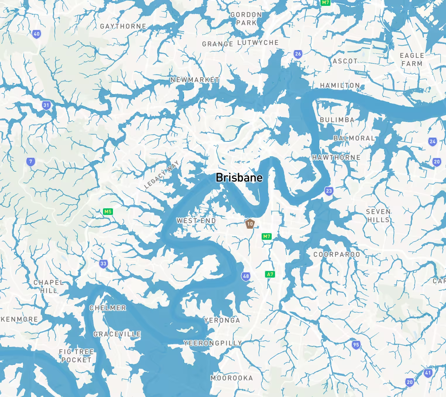
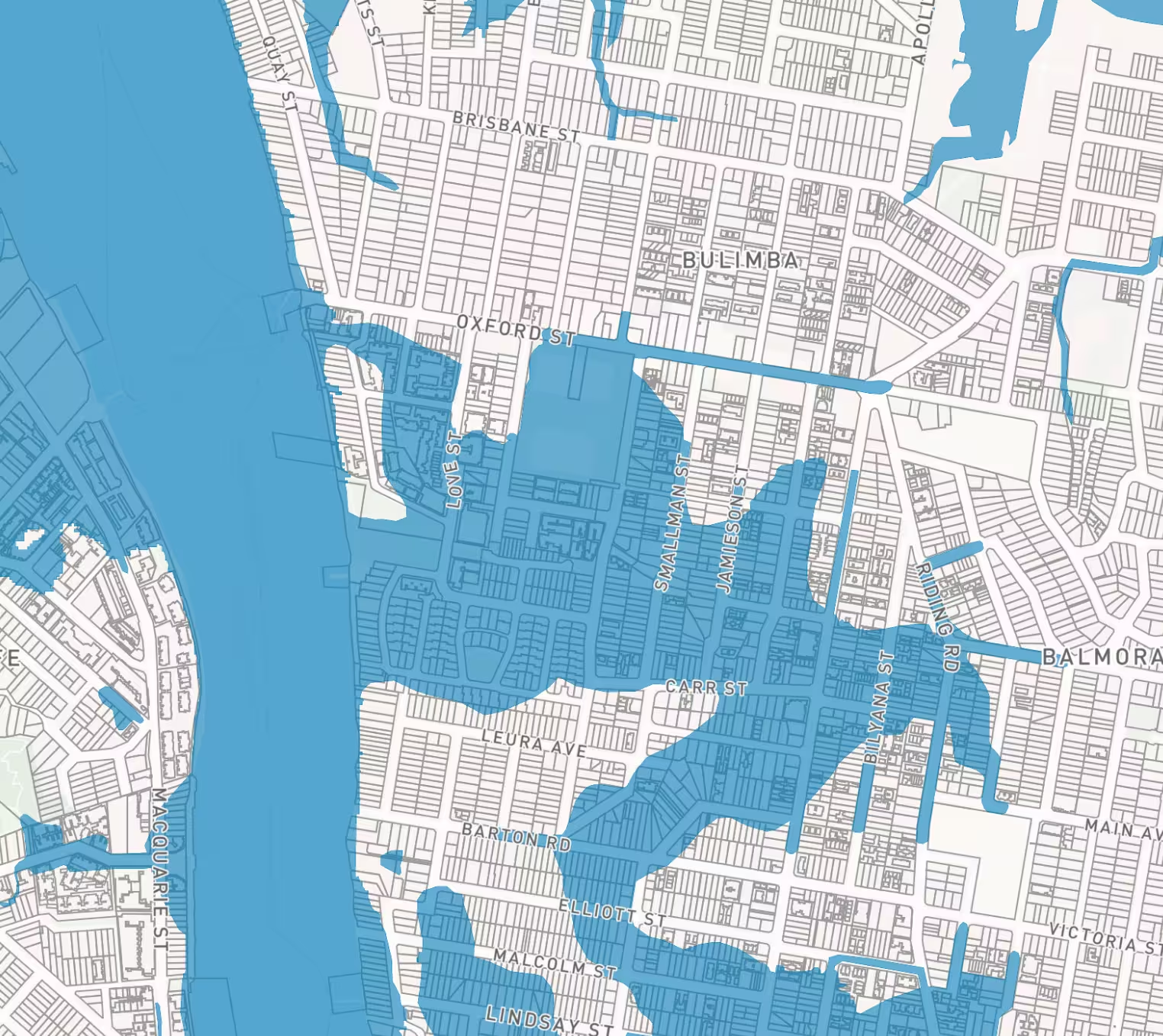
- Flood Overlays - Shows flood prone areas based on council modelling, helping assess development feasibility, insurance requirements, and minimum floor level restrictions. Available across all 17 councils.
- Bushfire Overlays - Highlights bushfire prone areas requiring additional building standards, vegetation management obligations, and bushfire attack level (BAL) assessments. Available across 16 councils.
- Acid Sulfate Soil Overlays - Identifies areas where soil disturbance may release sulfuric acid, affecting construction costs and requiring environmental management plans. Available across 10 councils.
- Landslide Overlays - Maps areas susceptible to landslip and slope instability, requiring geotechnical assessment for development. Available across 14 councils.
- Wetlands Overlays - Identifies protected wetland areas where development may be restricted or require special assessment. Available across 15 councils.
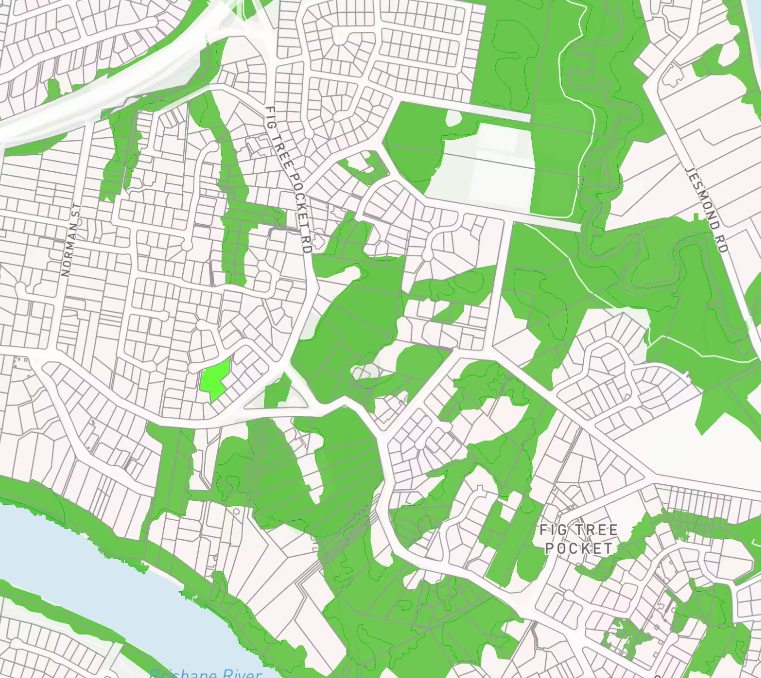
- Biodiversity Overlays - Shows areas of environmental significance requiring ecological assessment and potential vegetation offset requirements. Available across 15 councils.
Heritage and Cultural Overlays
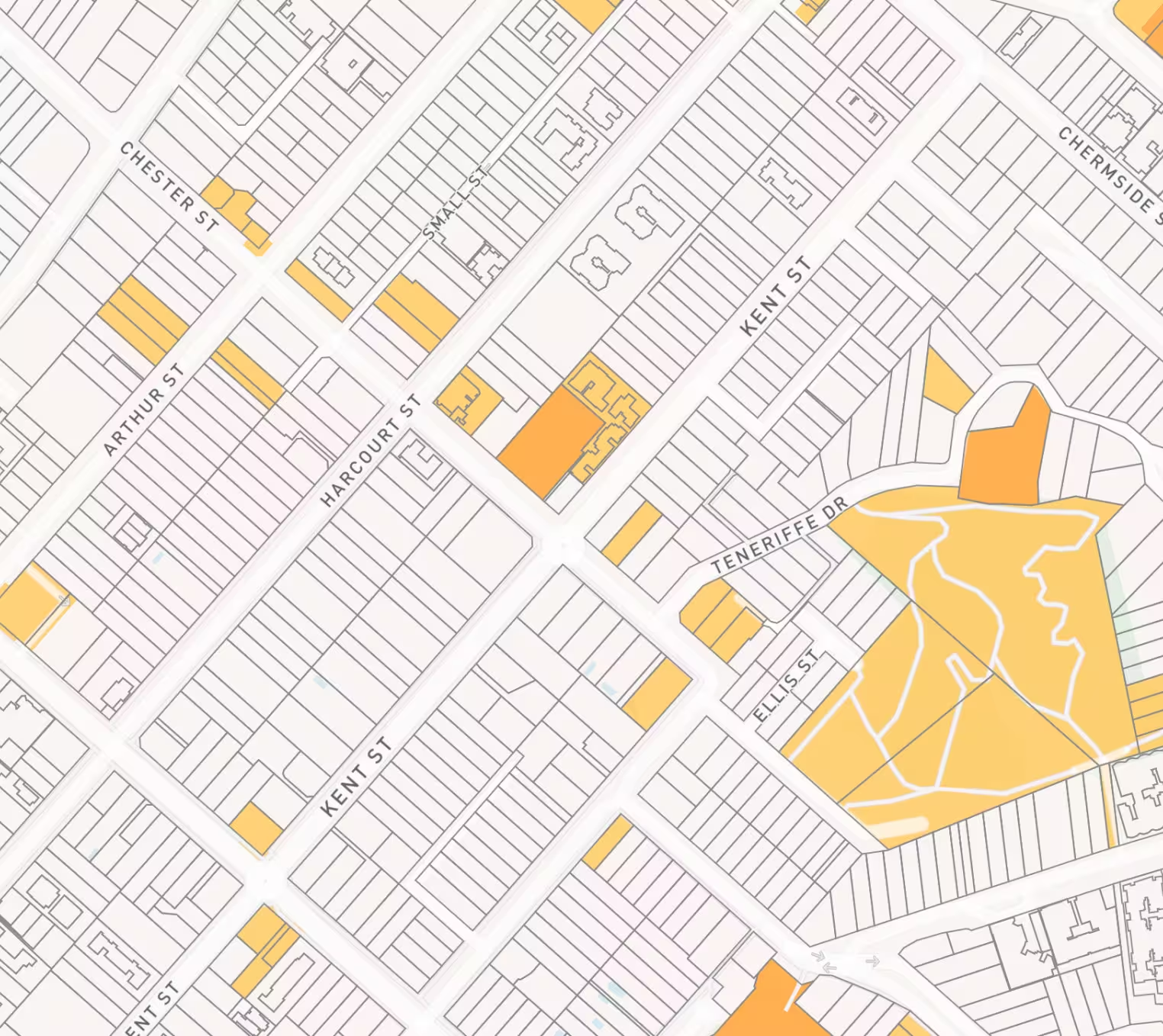
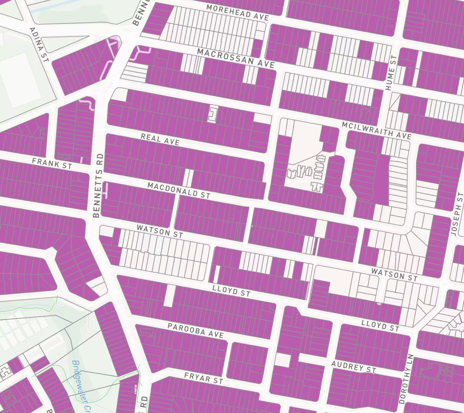
- Heritage Overlays - Identifies properties and precincts with heritage significance, affecting demolition, alteration, and development approval processes. Available across 15 councils.
- Significant Tree Overlays - Marks individual trees or groups of trees protected under planning schemes, requiring permits for removal or pruning. Available in Brisbane, Redlands City, and 4 other councils.
- Character Buildings Overlays - Identifies buildings contributing to neighbourhood character, affecting renovation and redevelopment options. Available in Brisbane and Ipswich City.
Infrastructure and Utilities Overlays
- Extractive Resources Overlays - Shows areas containing extractable resources like quarry materials, potentially limiting incompatible development. Available across 16 councils.
- Mining Influence Overlays - Identifies areas affected by mining operations or subsidence risk from historical mining activity. Available in Ipswich City.
- Waterway Overlays - Maps watercourses and riparian corridors requiring setbacks and vegetation buffers. Available across 14 councils.
- Water Resource Catchment Overlays - Shows drinking water catchment areas with additional development controls to protect water quality. Available across 13 councils.
Development Impact Overlays
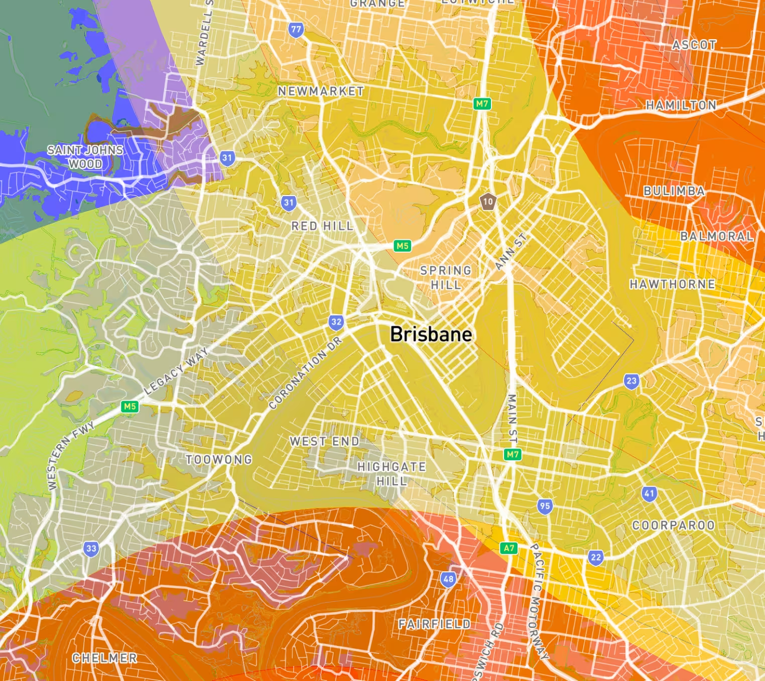
- Airport Environs Overlays - Identifies properties within airport operational zones, restricting building heights and affecting development noise exposure. Available in Brisbane, Gold Coast, Sunshine Coast, Logan City, Redlands City, Scenic Rim, Central Highlands, and Toowoomba.
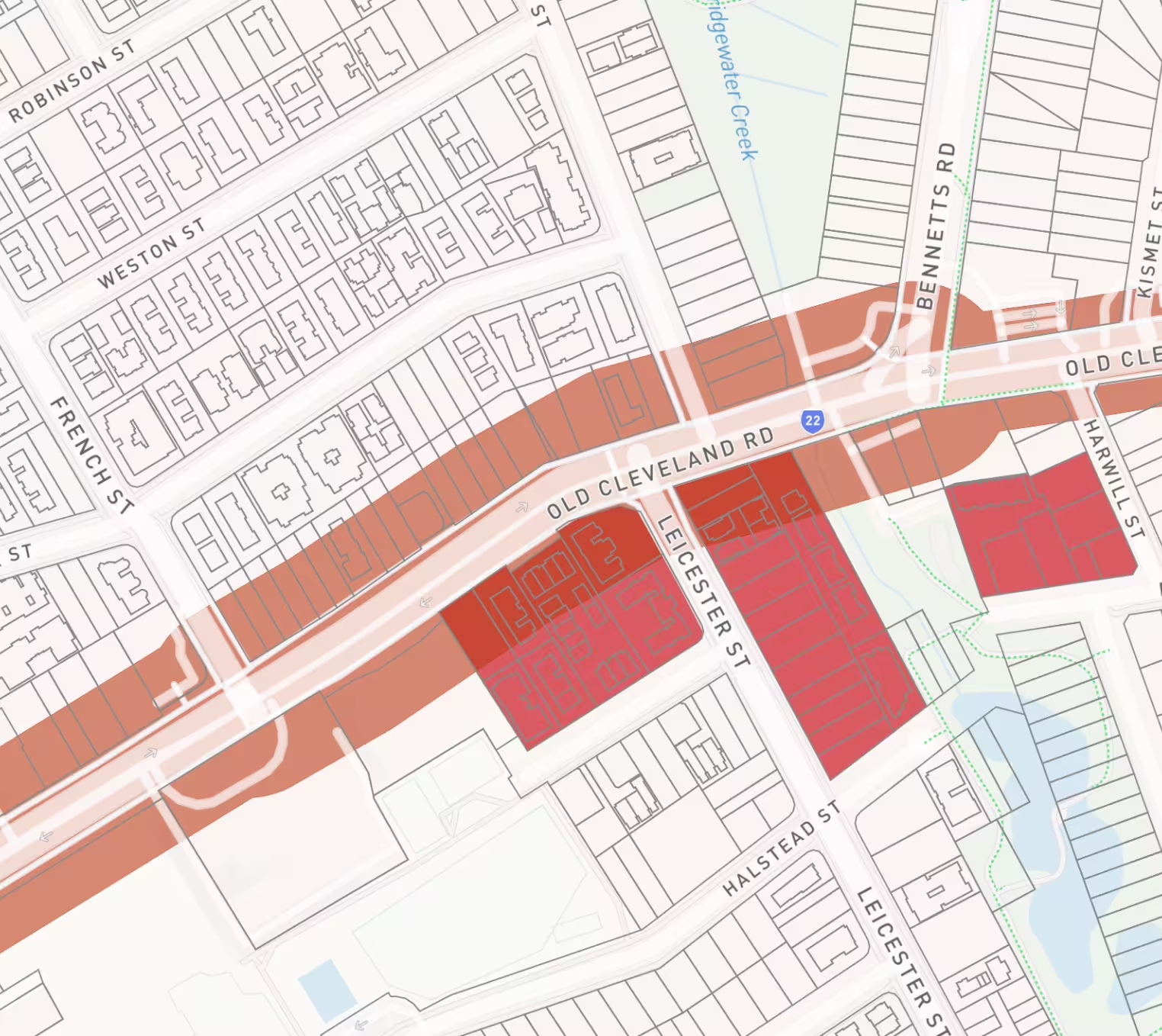
- Transport Noise Overlays - Maps areas affected by road or rail noise, requiring acoustic assessment and noise attenuation measures. Available in Brisbane, Gold Coast, Moreton Bay, Logan City, Redlands City, Ipswich City, Lockyer Valley, Scenic Rim, Central Highlands, and Toowoomba.
- Industrial Amenity Overlays - Shows buffer zones around industrial areas where residential development may be restricted. Available in Brisbane.
- Frontages Overlays - Identifies properties with specific street frontage requirements affecting building design and landscaping. Available in Brisbane, Ipswich City, and Gladstone.
How to Access Queensland Overlay Data on Landchecker
Queensland overlay data appears in three locations within Landchecker:
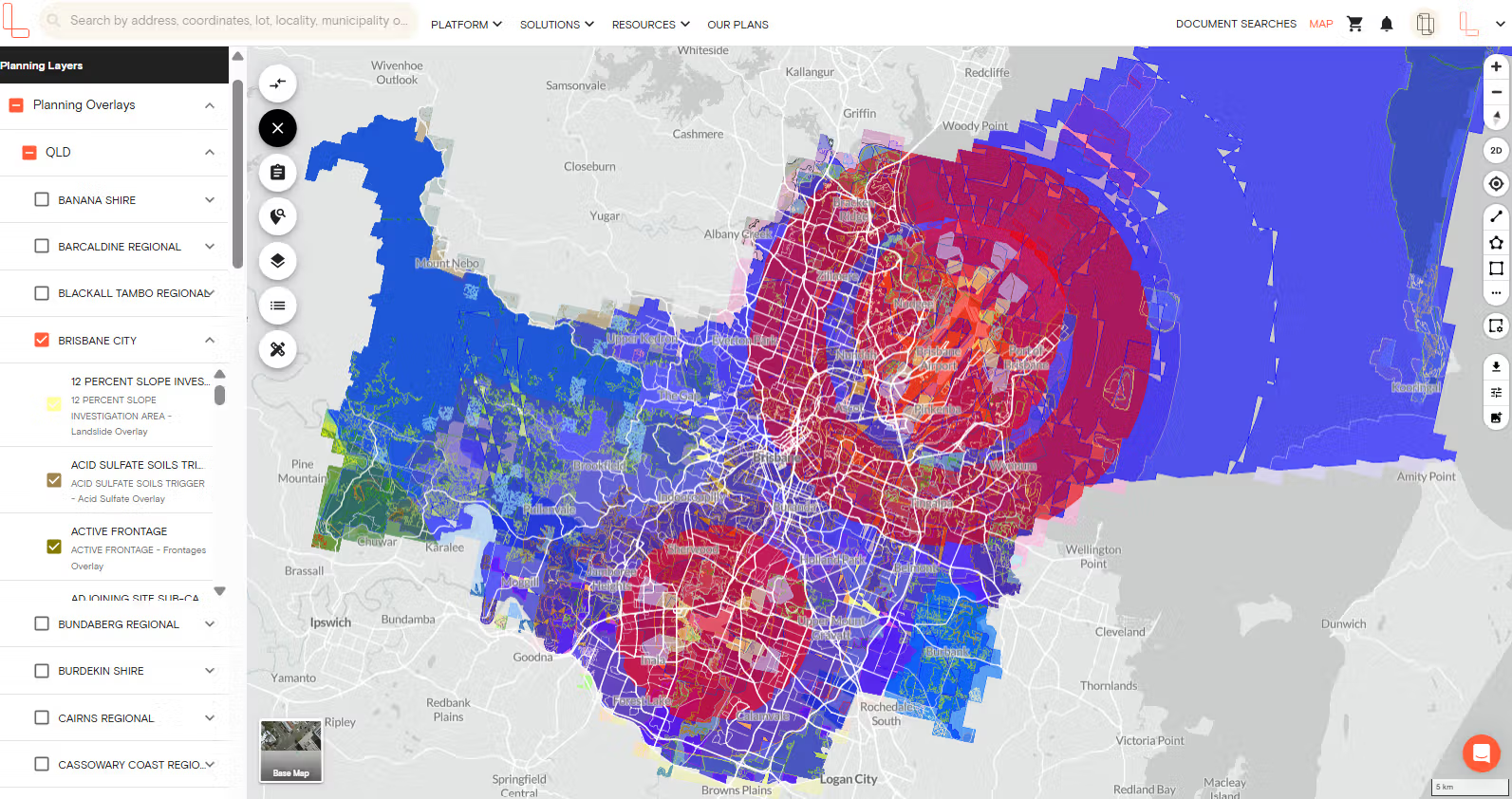
1. Planning Layers Panel (Left Side) - Select the planning layers menu on the left-hand side panel and click Planning Overlays. You can select any concil and tick the checkbox of the individual overlay types on and off to visualise constraints on the map.
2. Planning Information Panel (Right Side) - Search for a property and view the planning information on the right-hand side info section to see all applicable overlays listed for your specific property.

3. Premium Property Reports - Search for a property and click the View Report button on the right-hand side info panel to download a property report.
Why This Matters for Queensland Property Professionals
- Property Developers - QLD overlay helps identify sites with development constraints before committing to due diligence costs, saving weeks of preliminary investigation across multiple constraint categories.
For example, acid sulfate soil overlays immediately flag properties requiring environmental management plans, heritage overlays reveal alteration restrictions, and airport environs overlays indicate height limitations. - Valuers - Access to QLD overlays in one platform means you can assess planning constraints affecting property value during desktop valuations—from flood overlays impacting insurance costs to heritage overlays restricting alterations to transport noise overlays requiring acoustic treatment—without visiting council offices or waiting for planning certificates.
- Conveyancers and Solicitors - Identify material planning overlays affecting your clients' properties during pre-contract searches, including bushfire management zones, contaminated land overlays, and development restrictions. This helps you ensure you can advise on potential limitations before the exchange of contracts.
- Real Estate Agents - Answer buyer questions about flood zones, bushfire requirements, heritage restrictions, significant tree protections, and airport noise exposure with authoritative council data at your fingertips. This helps reduce back-and-forth with councils, building buyer confidence, and keeping transactions on track.
Data Source and Accuracy
All overlay data comes directly from the relevant Queensland council planning schemes. When councils publish revised overlay mapping, Landchecker updates this data in our weekly data refresh cycle, typically within 1-2 weeks of the council's publication.
This data should be used for preliminary assessment only. Property professionals should verify overlay information with the relevant council before making final decisions, as council planning schemes remain the authoritative source and may include additional constraints not captured in overlay mapping.
What's Next for Queensland Coverage
Landchecker is working to expand Queensland coverage to additional councils and overlay types based on customer demand. If you need data from a specific Queensland council that is not currently included, please email support@landchecker.com.au or use the live in-app chat to register your interest.
Getting Started
Queensland overlay data is available now to all Landchecker users. Log in to your account and search for any Queensland property within the 17 covered councils to view planning overlays.




Trusted by thousands of businesses every day
"Having access to all this property information in one place is invaluable, from sales data, to planning information and permits. The Landchecker map is very easy to use."
"Clients expect the advice to come immediately so they can make informed decisions on whatever it is they're doing, whether it is an acquisition or development applications or VCAT, Landchecker is that one-stop-shop; a tool that we could use to provide advice we could then give to our clients in a timely fashion."
“Landchecker is the most used and popular online tool for KordaMentha’s real estate team. Its intuitive platform simplifies complex property research, enabling our team to quickly retrieve essential information such as land size, zones and overlays, planning information, and sales history."
"Landchecker has been a gamechanger for InForm - not only in the way in which we are able to gather all accurate information on parcels of land, but also in the way in which we service our clients."
"Landchecker is essential for our business for evaluating development opportunities by offering detailed property insights, High-Resolution Imagery, and zoning data to save time and enable confident decisions."
"Landchecker has provided significant support to our due diligence process, providing efficient searching solution and quick access to key planning data and high-resolution imagery. It’s an essential tool improving the efficiency of our opportunity assessment."
