Public Acquisition Overlays in Victoria
In Victoria, public acquisition overlays (PAOs) are a planning tool used to reserve land for future public use. This can include infrastructure projects like roads, railways, schools, and parks. PAOs are an essential part of the planning scheme, indicating areas where the government intends to acquire land for public purposes.
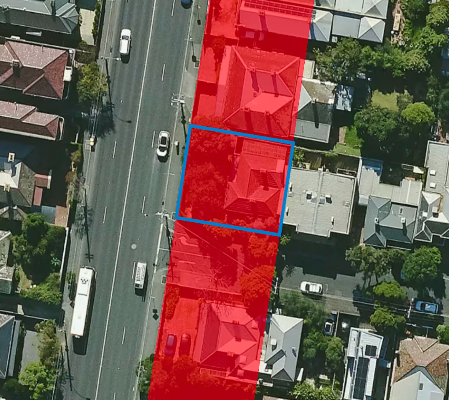
Key Aspects of Public Acquisition Overlays in Victoria:
1. Purpose:
- Reserve land for future public use and infrastructure projects.
- Ensure land is available for essential public services and amenities.
2. Implementation:
- PAOs are included in the local planning schemes and specify the type of public use planned for the land.
- Affected landowners are notified, and the overlay is recorded on the land title.
3. Process:
- Identification: The government identifies land needed for future public use.
- Notification: Affected landowners and the public are informed about the PAO.
- Acquisition: When the land is needed, the government proceeds with the acquisition process, which includes compensation to the landowners based on market value.
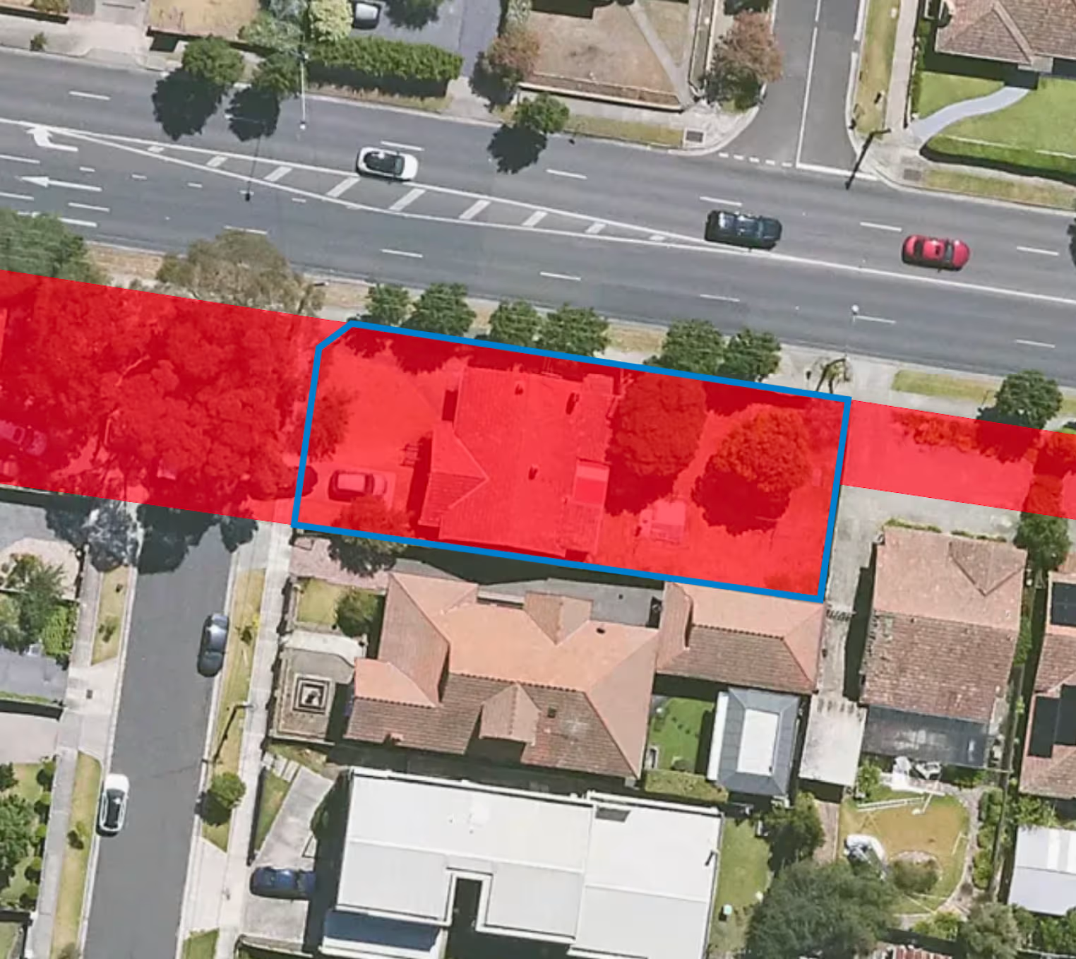
4. Rights and Compensation:
- Landowners have the right to fair compensation for the acquisition of their land.
- The compensation process is governed by the Land Acquisition and Compensation Act 1986.
5. Planning Scheme:
- PAOs are part of the local council's planning scheme and are detailed in planning scheme maps and documents.
6. Examples:
- Land reserved for new road projects, such as expansions or new routes.
- Areas designated for new public schools or hospitals.
- Spaces allocated for public parks or recreational facilities.
For specific information about PAOs affecting a particular area in Victoria, you can check the local council's planning scheme or contact the council directly. You can also access the Victorian Government's planning website for detailed maps and documentation regarding PAOs.


Trusted by thousands of businesses every day
"Having access to all this property information in one place is invaluable, from sales data, to planning information and permits. The Landchecker map is very easy to use."
"Clients expect the advice to come immediately so they can make informed decisions on whatever it is they're doing, whether it is an acquisition or development applications or VCAT, Landchecker is that one-stop-shop; a tool that we could use to provide advice we could then give to our clients in a timely fashion."
“Landchecker is the most used and popular online tool for KordaMentha’s real estate team. Its intuitive platform simplifies complex property research, enabling our team to quickly retrieve essential information such as land size, zones and overlays, planning information, and sales history."
"Landchecker has been a gamechanger for InForm - not only in the way in which we are able to gather all accurate information on parcels of land, but also in the way in which we service our clients."
"Landchecker is essential for our business for evaluating development opportunities by offering detailed property insights, High-Resolution Imagery, and zoning data to save time and enable confident decisions."
"Landchecker has provided significant support to our due diligence process, providing efficient searching solution and quick access to key planning data and high-resolution imagery. It’s an essential tool improving the efficiency of our opportunity assessment."
