Heritage Overlays
How to Conduct Heritage Overlay Searches
In Australia there are a number of properties and precincts that have been classified as having “heritage value”. As a result of this legal protection status, they face possible restrictions when it comes to future planning.
This is why heritage overlay searches have become an essential asset for real estate industry professionals.
This simple search tool can expedite and enhance your planning and research. Discover all you need to know about a reliable heritage overlay search below.
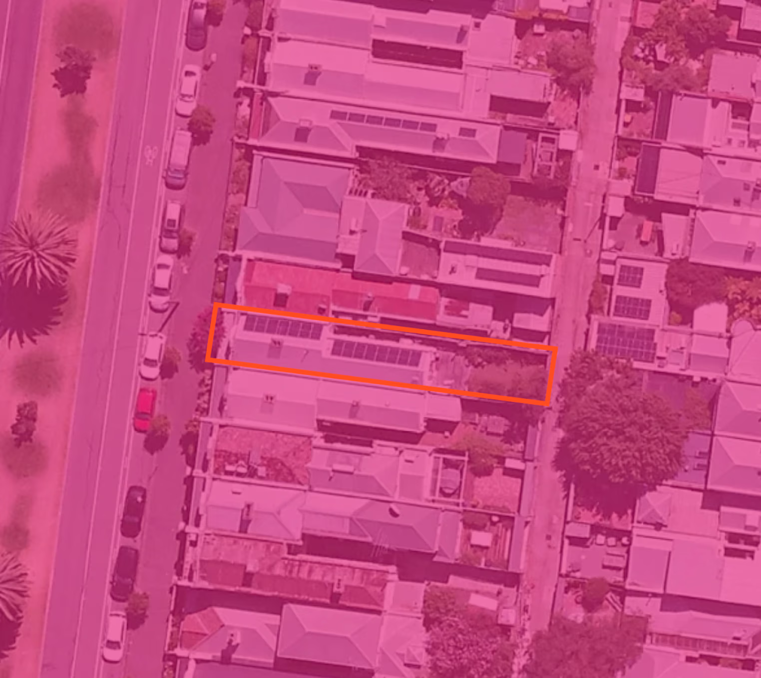
What is a Heritage Overlay?
A Heritage Overlay is a government planning scheme that pertains to sites of local and state significance.
A “heritage place” includes both the listed heritage item and its associated land.
The intent of a heritage overlay is to protect sites with heritage value (i.e. natural/cultural significance).
Although the protection rules can vary, they indicate sets of expectations that must be followed for certain future planning and changes to that site. Planning permits and approval is usually required prior to any potential work to the site.
Each planning scheme has a set of maps that indicate the location of heritage overlay controls. These are based on various criteria such as; internal alterations, external paint, fencing and outbuildings and much more.
What Information Does a Heritage Overlay Search Provide?
A heritage overlay search will enable you to explore and view heritage listed items and supporting information in the area of your choice.
You will receive a range of collated information presented via an interactive spatial map viewer for the specific address.
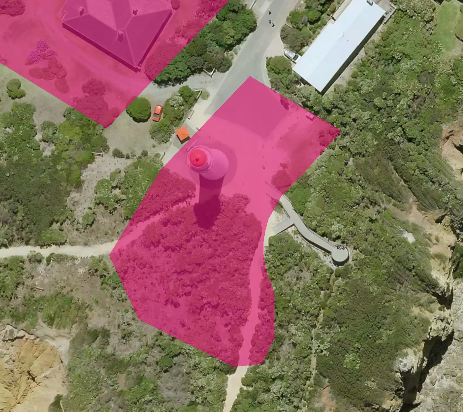
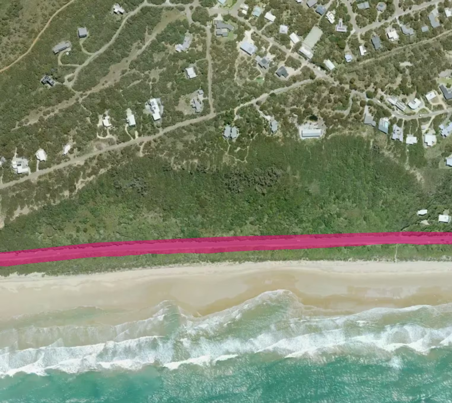
Depending on the site, this may include (but is not limited to):
- Significance:
For instance, an address/area may be a good example of a particular historical era to be preserved for future generations. - Assessment:
This could include statements about the integrity and intactness of a site, (for example assessed against the State Heritage Register). - Description may include:
- Construction year (start and end)
- A physical description of the site, which often includes intricate details such as materials and design features (i.e., ornate cast iron gates, filigree rails, palisade fencing)
- Modification and dates (e.g. an extension or addition like a garage)
- Current and former use - Listings: (for example, a Local Environmental Plan).
- History: if anything of note of significance.
- Recommended Management: this may be along the lines of “preserve and maintain significant fabric” or similar.
There are several base layers to choose from for display in a heritage overlay search – such as local government boundaries, National Parks estate, aerial photography and other points of interest.
Heritage Overlays Across Australia
The term “Heritage Overlay” is formally used in Victoria and by some Queensland councils (e.g. Brisbane City Plan).Other states use equivalent protections:
- NSW – Heritage Items & Conservation Areas (Schedule 5, Local Environmental Plans)
- SA – Historic Area Overlay & Heritage Place Overlay
- TAS – Heritage Code
- WA – Heritage List / Area
- ACT / NT – Heritage Register
Why Conduct a Heritage Overlay Search?
The insights offered from a heritage overlay search can be useful for research and studies, development proposals, assessments, land-use planning, conveyancing, conservation management and more.
The Heritage Overlay will outline when permits are/aren’t required for properties identified on planning scheme maps.
If you are seeking any of the following classes of development or information on the former, a heritage overlay search is an asset:
- Subdividing land into lots or to realign the common boundary
- Plans to extend/refurbish and so on (for example, a ramp, swimming pool or car park)
- Intent or information regarding altering, demolishing or removing an outbuilding/structure (fence, shed, deck, or similar) – this will not be possible if the outbuilding is protected in the schedule of the heritage overlay
- Permits or permissions for external painting and any future construction
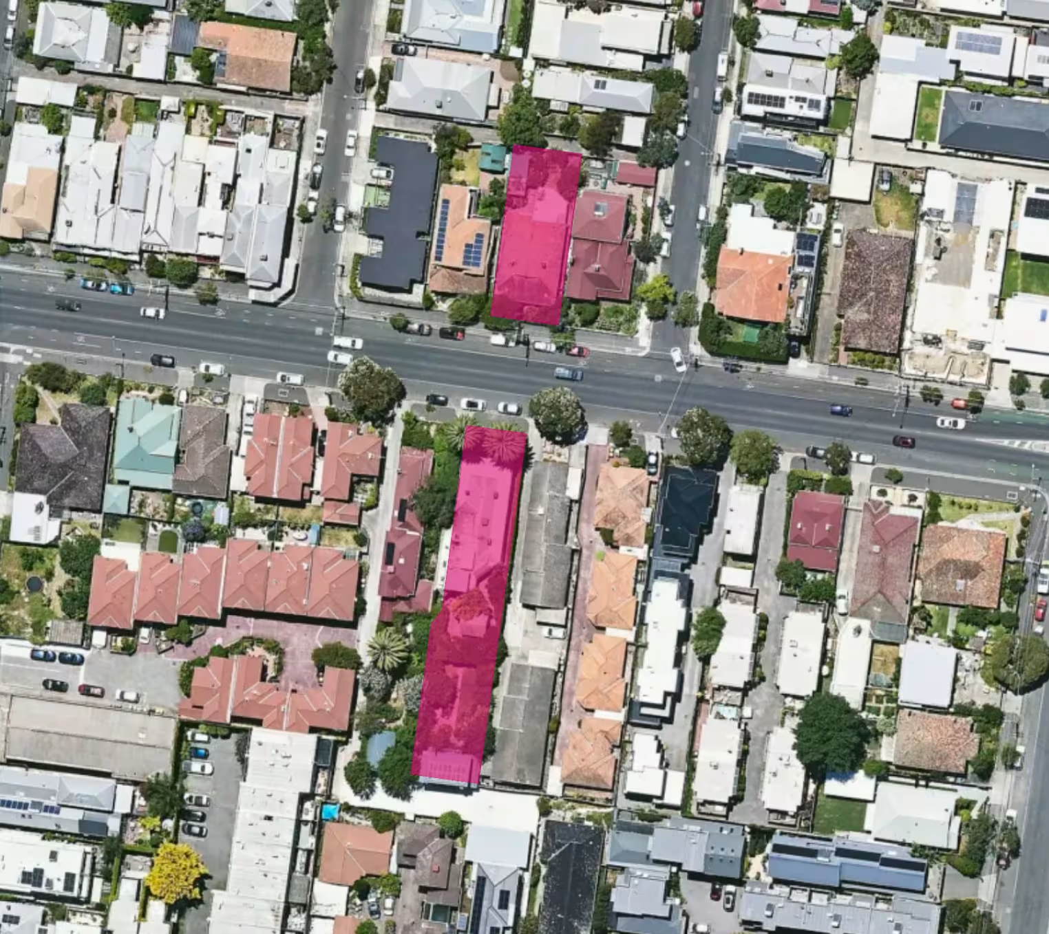
Investors:
Additionally, as an investor, you should consider how the above may affect, preserve or increase the value of the property and area.
On the one hand, buying within a heritage area means the area is unlikely to experience significant aesthetic changes in the future, and will often grow in value if maintained.
On the other hand, heritage status does come with strict accompanying rules and regulations (and necessary permit permissions) when it comes to making changes to that area or property (inside and out).
- Walkability with improved health outcomes for residents
- Less reliance on private vehicles
- Stronger social connections
- Better overall quality of life with safer, greener, more connected facilities
The exact requirements vary by state and council. Always confirm with your local planning authority before undertaking works.
Rely on Landchecker:
Landchecker’s heritage overlay search tool makes checking and assessing a (potential) heritage site easier than ever.
Landchecker sources the widest range of reliable, updated imagery and data, and shows all the heritage properties in the area for expedited contrast and comparison.
If you want to be prepared and informed without the hassle of scouring multiple sites for relevant information, you can purchase a Landchecker premium property report here.
The data you’ll discover accurately indicates essential information for use in planning and development (including zoning regulations/restrictions and planning permits).
In addition to heritage overlay information, you’ll be able to access a myriad of other relevant, essential details, such as land size, dimensions, sales history, topography, aerial and satellite imagery and more.
Data Sources
Landchecker’s heritage data is compiled from:
- Victorian Planning Authority (Clause 43.01 Schedules)
- Brisbane City Plan – Heritage Overlay Code
- NSW Heritage Database & LEP Schedules
- South Australian Planning & Design Code (Historic Area Overlay)
- Tasmanian Planning Scheme – Heritage Code
- Local council registers across WA, ACT, and NT
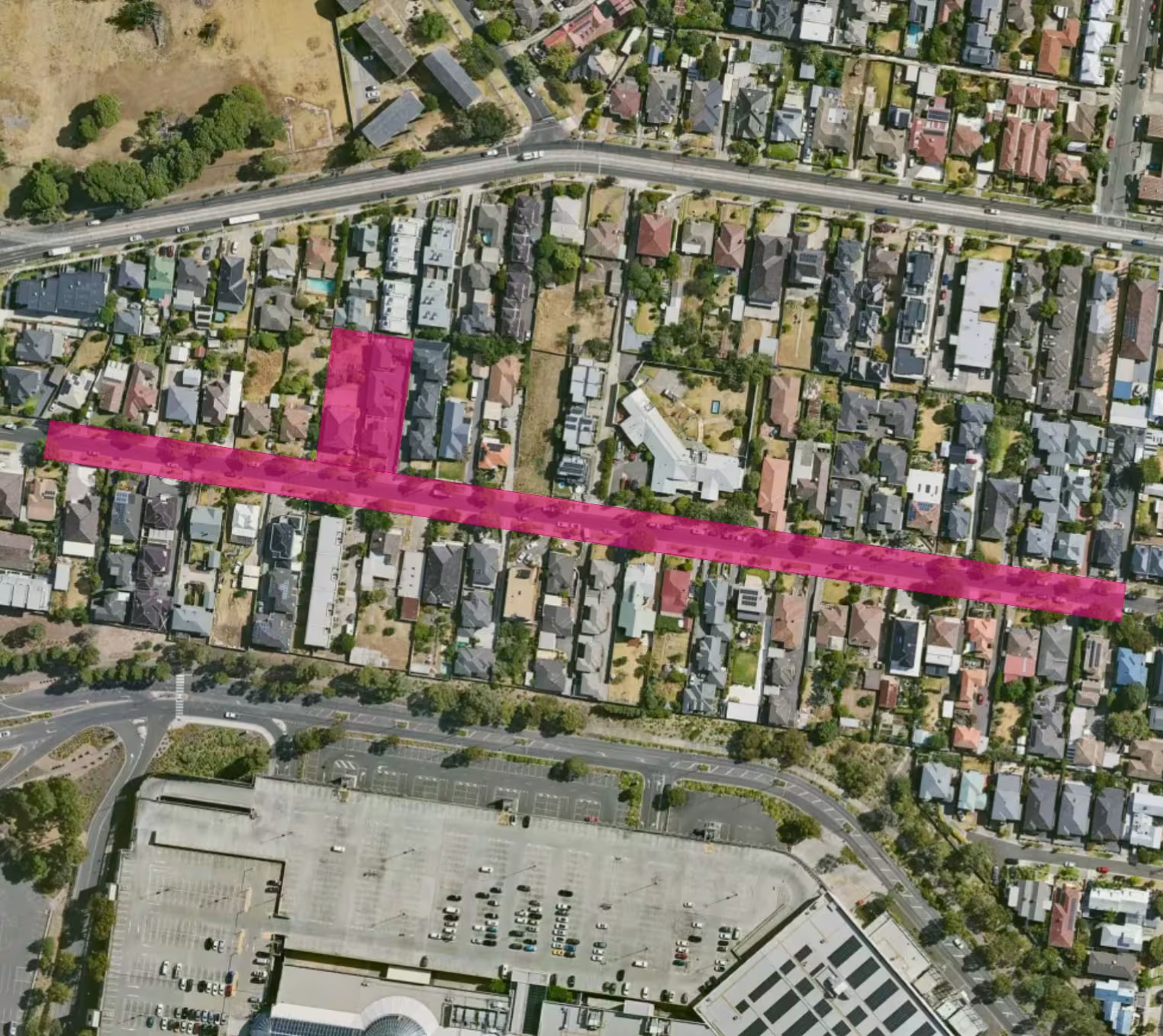
How to Check a Heritage Overlay in Australia
1. Go to app.landchecker.com.au
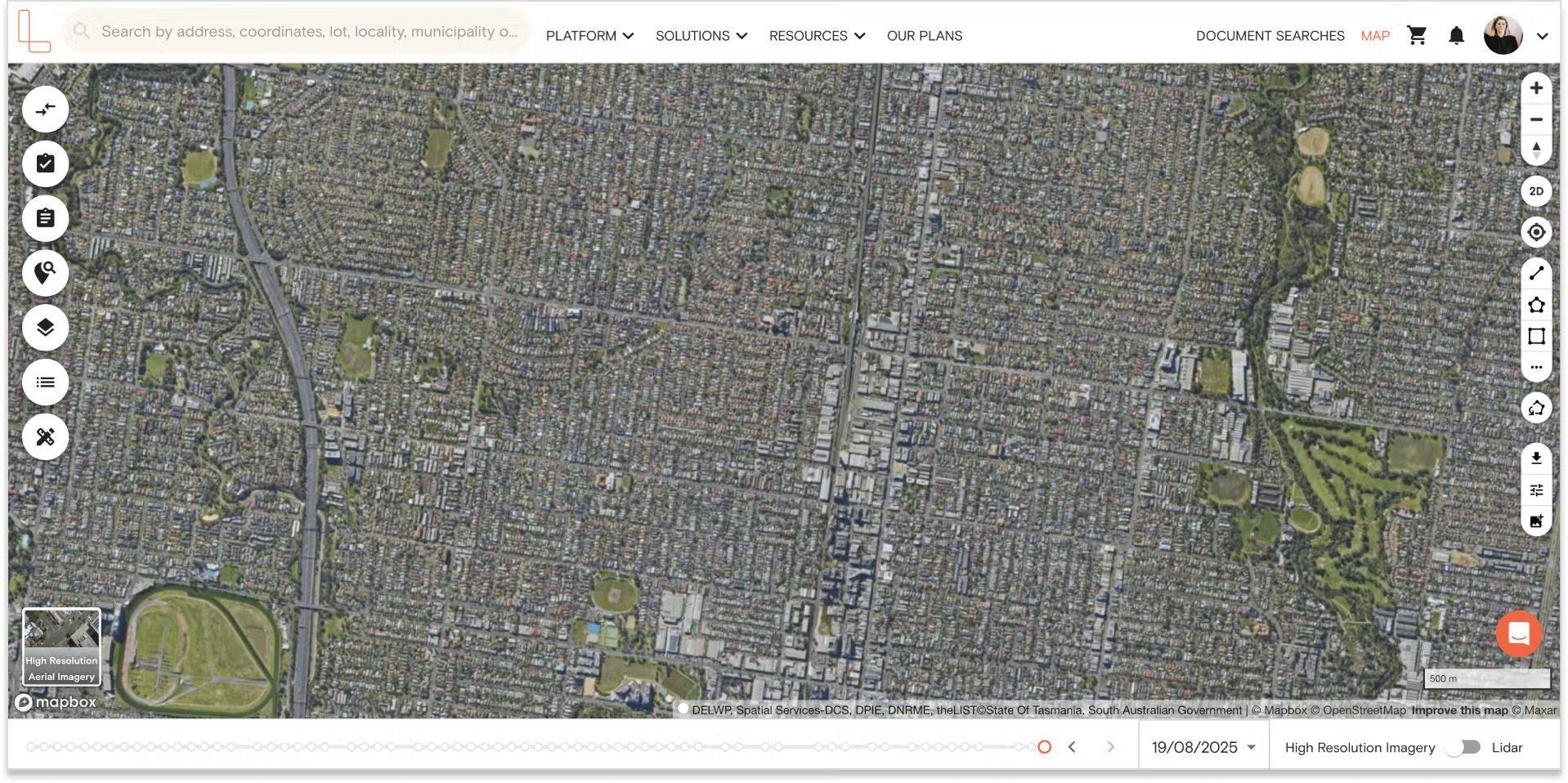
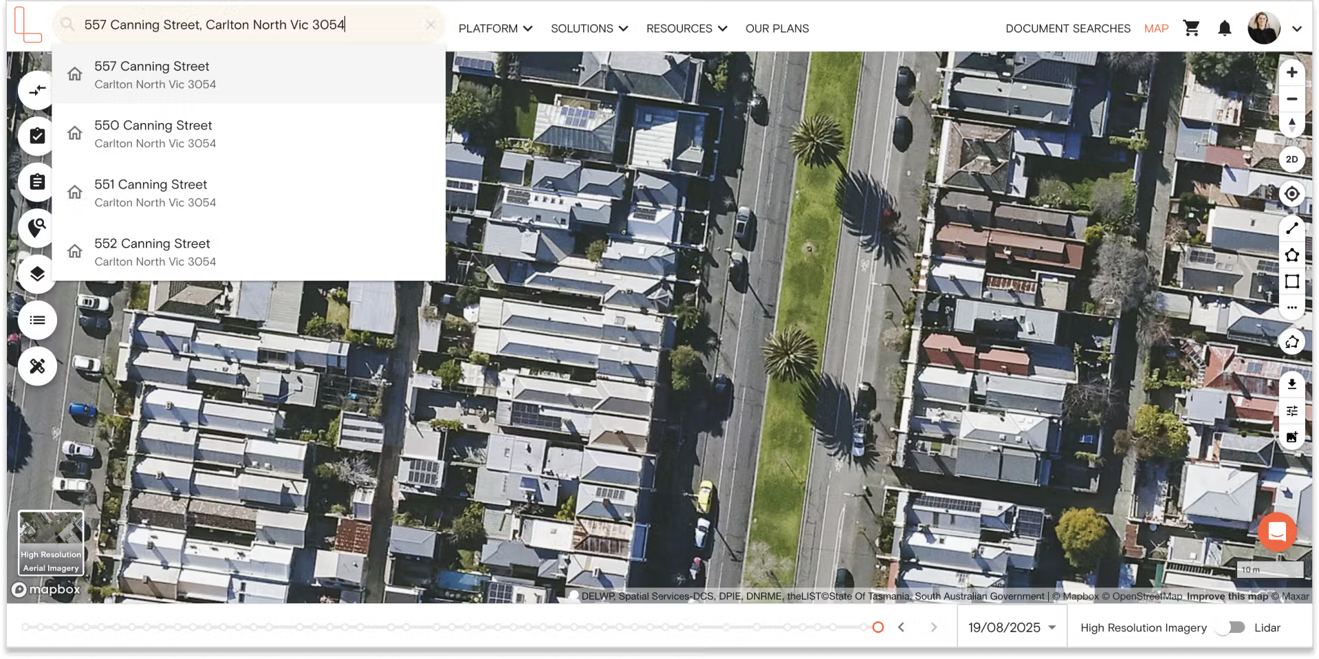
2. Enter a property address or suburb.
3. Select ‘Heritage Overlay’ from the map layers.
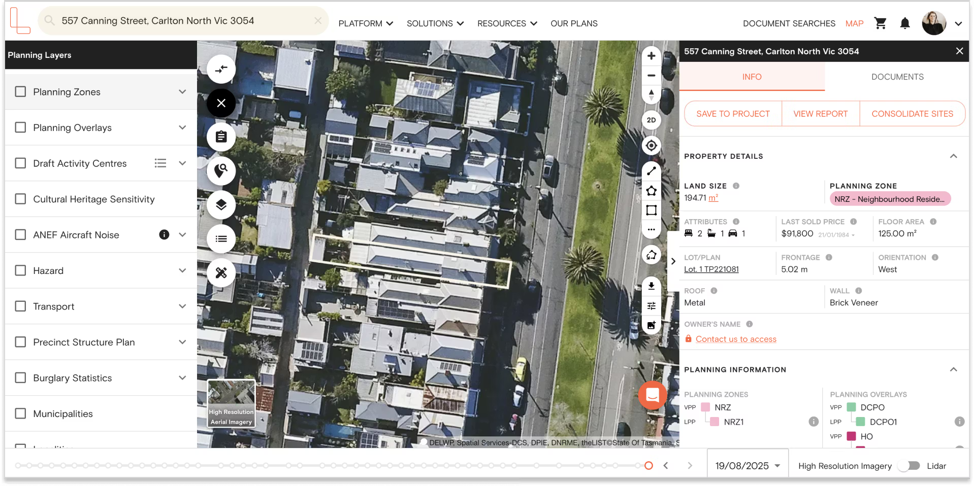
4. View heritage-listed items and overlay boundaries.
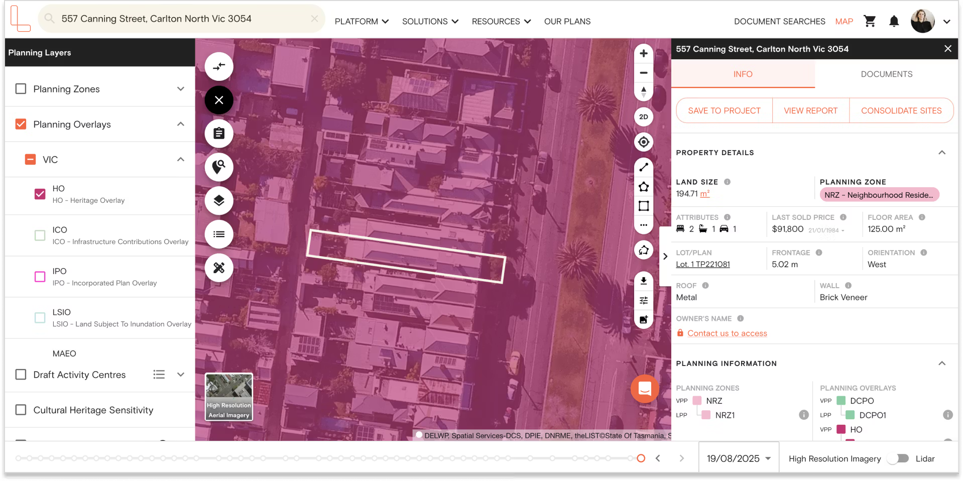
Download or purchase a Premium Property Report for overlay details, planning zones, and permit requirements.
Questions?
We’re glad you asked.




Trusted by thousands of businesses every day
"Having access to all this property information in one place is invaluable, from sales data, to planning information and permits. The Landchecker map is very easy to use."
"Clients expect the advice to come immediately so they can make informed decisions on whatever it is they're doing, whether it is an acquisition or development applications or VCAT, Landchecker is that one-stop-shop; a tool that we could use to provide advice we could then give to our clients in a timely fashion."
“Landchecker is the most used and popular online tool for KordaMentha’s real estate team. Its intuitive platform simplifies complex property research, enabling our team to quickly retrieve essential information such as land size, zones and overlays, planning information, and sales history."
"Landchecker has been a gamechanger for InForm - not only in the way in which we are able to gather all accurate information on parcels of land, but also in the way in which we service our clients."
"Landchecker is essential for our business for evaluating development opportunities by offering detailed property insights, High-Resolution Imagery, and zoning data to save time and enable confident decisions."
"Landchecker has provided significant support to our due diligence process, providing efficient searching solution and quick access to key planning data and high-resolution imagery. It’s an essential tool improving the efficiency of our opportunity assessment."
