Airport Environs Overlay
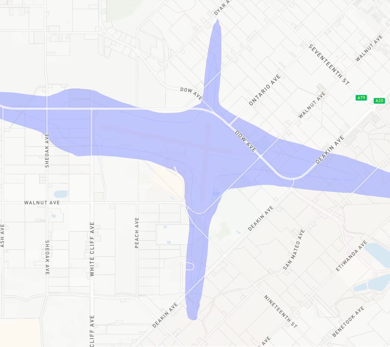
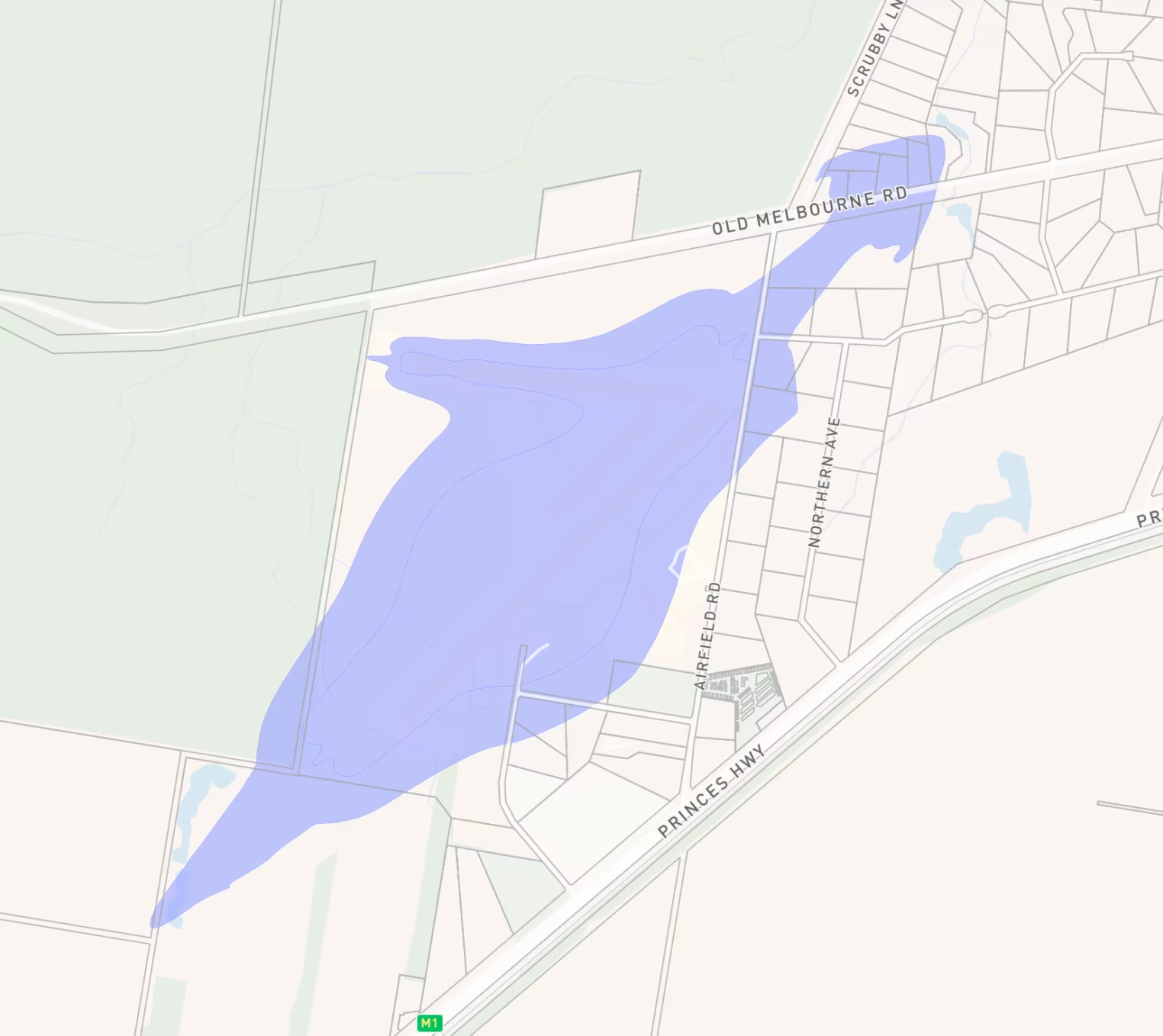
The Victorian government introduced the Airport Environs Overlay (AEO) and the Melbourne Airport Environs Overlay (MAEO) to identify sites that are or will be impacted by high levels of aircraft noise. It’s also used to shield people from the impact of aircraft noise by requiring appropriate noise attenuation measures in new dwellings and limiting the development of noise sensitive uses such as schools and child-care centres.
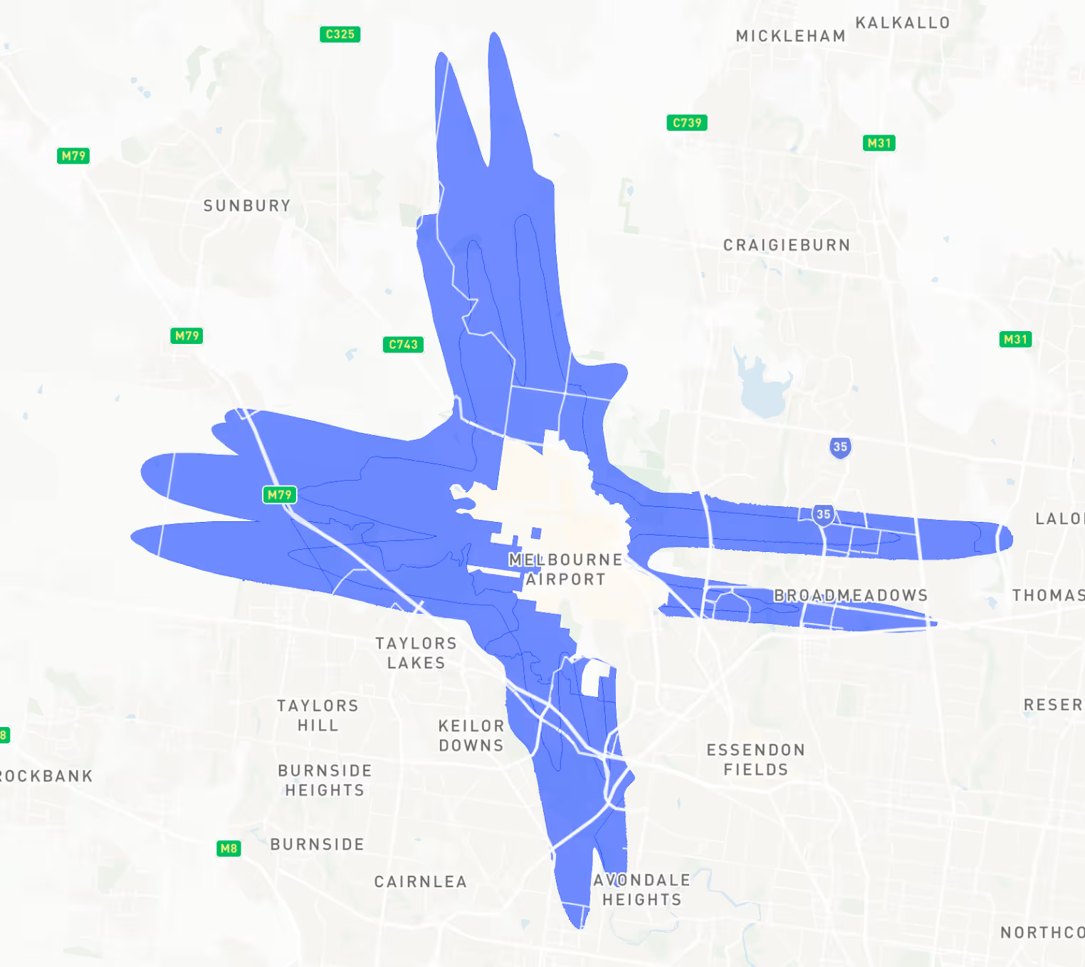
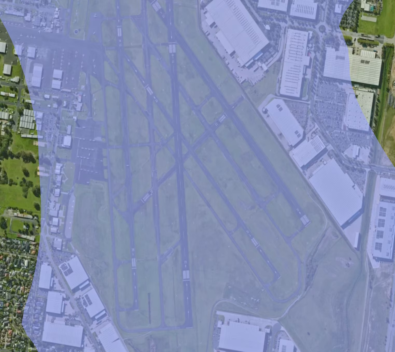
This planning overlay also helps ensure that land use and development are compatible with the operation of airports and follow the appropriate airport strategy or master plan considering safe air navigation for aircraft approaching and departing the airfield.
What happens if there is an Airport Environs Overlay on my property?
Existing homes are not affected by this overlay; however, if there is an extension or a new development, property owners or developers need to speak to the local council about how the AEO or MAEO may affect their project.
A permit is required to use land for any of the following uses:
- Art and craft centre
- Bar
- Display home centre
- Dwelling (provided no more than one is established on any lot)
- Host farm
- Hotel
- Office
- Place of assembly (except Drive-in theatre)
- Research and development centre
- Residential hotel
- Restricted recreation facility
- Small second dwelling (provided no more than one is established on any lot)
A small second dwelling must be a moveable building and only used to provide accommodation for a person dependent on a resident of the existing dwelling.
Despite the provisions of the zone, sites with AEO or MAEO must not be used for any of the following:
- Accommodation (other than Dwelling, Host farm and Residential hotel and Small second dwelling)
- Drive-in theatre
- Education centre
- Hospital
7 Key Aspects of the AEO and MAEO on Victorian Properties
When developing or purchasing properties near airports in Victoria, it’s essential to understand the Airport Environs Overlay (AEO) and its impact on land use. This overlay sets guidelines to protect both airport operations and public safety by regulating developments in nearby areas.
1. Noise Contours in Airport Environs Overlays
One of the primary considerations in the AEO and MAEO are noise management. Airports generate significant noise, especially near runways. For instance, residential developments in high-noise zones must incorporate soundproofing measures, while schools and hospitals are often discouraged in these regions due to their sensitivity to noise.
2. Height Restrictions Around Victorian Airports
Height restrictions are another important consideration of these overlays, as buildings and structures must not interfere with aircraft navigation. There are strict controls on the maximum allowable height for new construction within a certain proximity to the airport and flight paths.
3. Safety Zones and Property Development
The AEO and MAEO also includes designated safety zones to minimise the risk of aircraft accidents impacting nearby properties. These zones, typically located around runways and the approach/departure paths, impose stricter land use controls to prevent the construction of vulnerable buildings, like schools or large residential complexes, which may pose a safety risk in emergencies.
5. Managing Lighting and Glare
To ensure safe navigation, the AEO and MAEO place restrictions on lighting and glare from buildings and signs near airports. Bright lights can distract pilots, especially during nighttime operations.
6. Wildlife and Bird Control
Airports naturally attract birds and wildlife, which can pose significant risks to aircraft. The AEO and MAEO actively discourage developments that may increase wildlife activity, such as wetlands, landfills, or parks, to reduce the likelihood of bird strikes.
7. Environmental Considerations in AEO and MAEO
Lastly, environmental factors are critical in the Airport Environs Overlay. The overlay addresses stormwater management, air quality, and sustainable practices to ensure that development around airports does not negatively affect their operations.
Greenfield sites may face more stringent scrutiny to ensure they don’t pose environmental risks, particularly in terms of safety and the functionality of airport services.
For property developers, investors and home owners, understanding the Airport Environs Overlay and the Melbourne Airport Environs Overlay is crucial to making informed decisions about land use around Victorian airports.
Whether you're planning a commercial or industrial development, Landchecker can help find the information you need regarding your property including what zones and overlays cover the property and links to the planning scheme to research further.




Trusted by thousands of businesses every day
"Having access to all this property information in one place is invaluable, from sales data, to planning information and permits. The Landchecker map is very easy to use."
"Clients expect the advice to come immediately so they can make informed decisions on whatever it is they're doing, whether it is an acquisition or development applications or VCAT, Landchecker is that one-stop-shop; a tool that we could use to provide advice we could then give to our clients in a timely fashion."
“Landchecker is the most used and popular online tool for KordaMentha’s real estate team. Its intuitive platform simplifies complex property research, enabling our team to quickly retrieve essential information such as land size, zones and overlays, planning information, and sales history."
"Landchecker has been a gamechanger for InForm - not only in the way in which we are able to gather all accurate information on parcels of land, but also in the way in which we service our clients."
"Landchecker is essential for our business for evaluating development opportunities by offering detailed property insights, High-Resolution Imagery, and zoning data to save time and enable confident decisions."
"Landchecker has provided significant support to our due diligence process, providing efficient searching solution and quick access to key planning data and high-resolution imagery. It’s an essential tool improving the efficiency of our opportunity assessment."
