Queensland Overlays
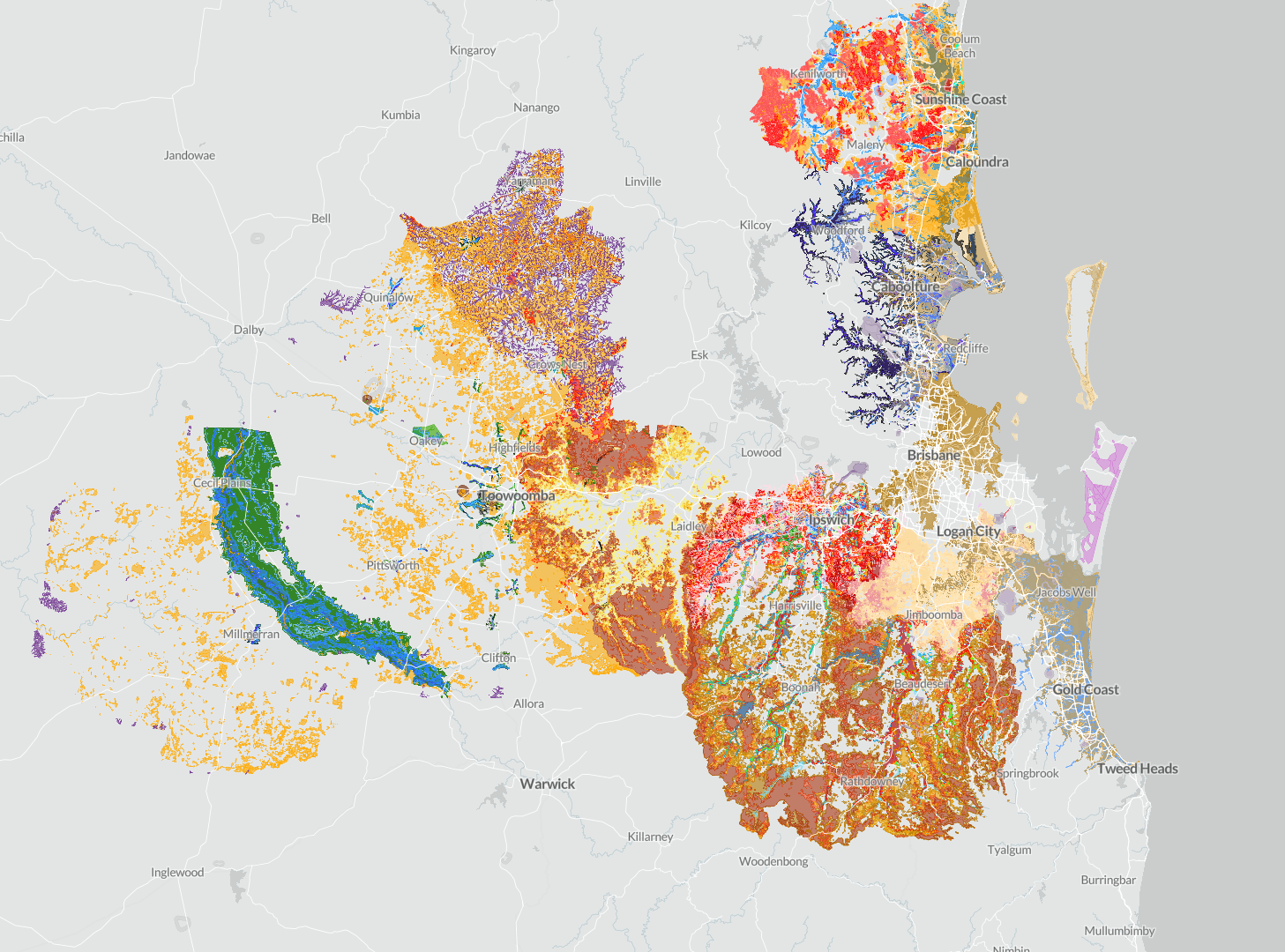
New overlay data spanning 17 major Queensland councils and 1.9 million data points is now live in Landchecker, covering flood, bushfire, acid sulphate, heritage, waterway and more. See exactly which overlays are available for each council and how this expanded coverage supports stronger due diligence and property decisions across the state.
Landchecker has successfully sourced and integrated planning overlay data from 17 major Queensland councils, significantly expanding coverage across the state. This represents one of the most comprehensive collections of Queensland planning overlay data available.
You can now access 1.9 million additional data points—encompassing acid sulphate, flood, and bushfire, with more coming soon.
Coverage Councils Included:
- Brisbane
- Gold Coast
- Moreton Bay
- Sunshine Coast
- Logan City
- Redland City
- Toowoomba
- Bundaberg
- Gladstone
- Mackay
- Lockyer Valley
- Scenic Rim
- Central Highlands
- Ipswich City
- Western Downs
- Maranoa
- Woolrabinda
Access today Please note this data is available in the left hand side planning layers, planning information on the right hand side panel and in the premium property reports.
This comprehensive overlay dataset will enable Landchecker customers to:
- Conduct thorough due diligence across major Queensland regions
- Identify development constraints and opportunities
- Assess environmental and planning risks
- Make more informed property decisions
The data covers the majority of Queensland's population centres and represents a significant expansion of Landchecker's Queensland planning overlay capabilities.
